


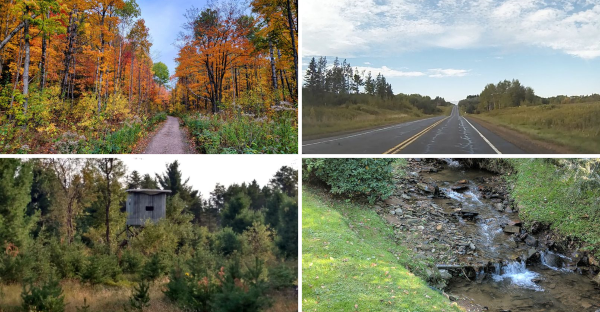
When autumn rolls into northern Wisconsin, the forests trade their summer green for waves of red, orange, and gold. The Northwoods become one of the best places in the Midwest to watch leaves peak, usually from late September into mid-October.
These eight drives take you past lakes, rivers, waterfalls, and thick maple stands where color seems to stretch for miles. Whether you want a short loop or a full day on the road, this list gives you real routes worth planning around.
Grab a map, fill the tank, and let the leaves lead the way.
1. Great Divide Scenic Byway, Chequamegon-Nicolet National Forest
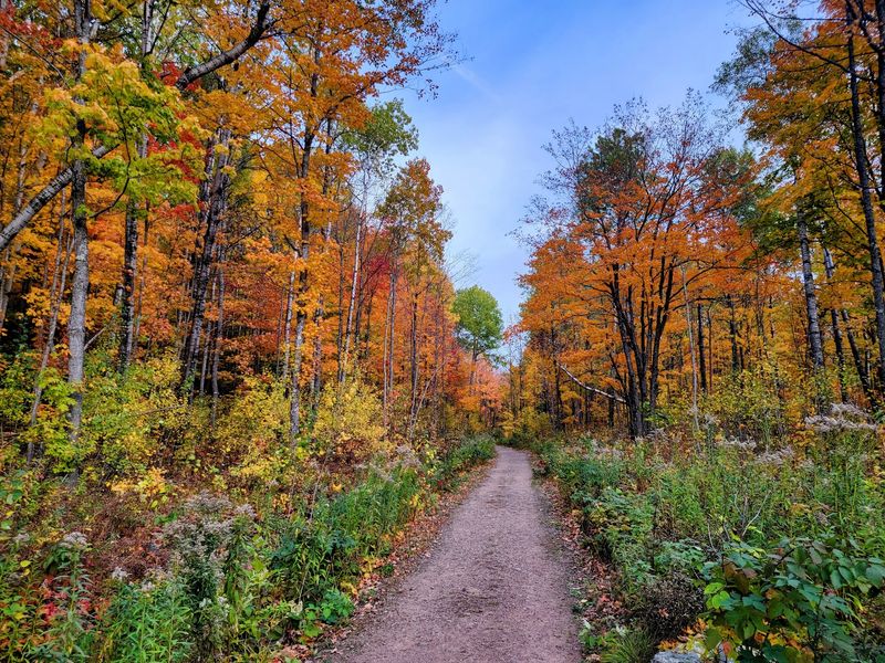
Running through the heart of the Chequamegon-Nicolet National Forest, this byway follows Highway 77 for about 29 miles between Glidden and Lost Lake. The route earns its name because it crosses a continental divide, where water flows either toward the Mississippi or the Great Lakes.
Hardwood forests here mean maples, birches, and aspens light up the drive when the season peaks. There are pull-offs and picnic spots along the way, so you can stretch your legs without rushing.
I like this one because it stays fairly quiet compared to busier tourist routes. You get deep forest on both sides and very few interruptions.
Stop at the Lost Lake area if you want a short walk near the water. Fall color usually hits its stride here in early to mid-October, though timing shifts a little each year.
2. Wisconsin Highway 13 Along Lake Superior, Bayfield Peninsula
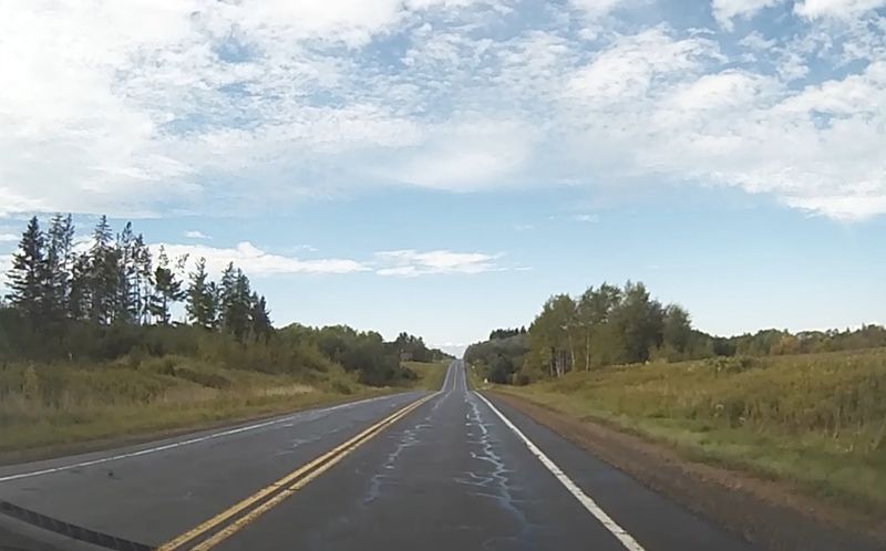
Few drives pair big water with big color the way this stretch does. Highway 13 wraps around the Bayfield Peninsula, giving you Lake Superior views alongside orchards and rolling woods.
The town of Bayfield sits along the route and serves as the gateway to the Apostle Islands National Lakeshore. Apple orchards near town are busy in fall, and many offer picking during the harvest season.
What sets this drive apart is the contrast. The deep blue of the largest Great Lake makes the reds and golds pop even more.
Take the ferry to Madeline Island if you want to add color-viewing from the water. The loop through Cornucopia and Herbster gives you smaller shoreline towns worth a slow pass.
3. Rustic Road 60 Loop, Marinette County
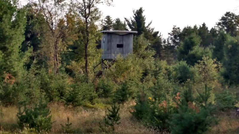
Marinette County calls itself the waterfall capital of Wisconsin, and this drive shows why. Rustic Road 60 winds through countryside near several county parks known for cascades along the Pike and Menominee rivers.
Combine the drive with stops at Long Slide Falls or Dave’s Falls to break up the trip. Both sit within short walking distance of parking areas.
Wisconsin’s Rustic Roads program marks scenic, lightly traveled routes with brown and yellow signs, and this is a good one for leaf season. Expect narrow lanes and a slower pace.
I would save this route for a day when you want both moving water and turning leaves. The mix of rushing falls and maple ridges makes it feel like two trips in one.
4. Highway 70 Through Vilas and Oneida Counties
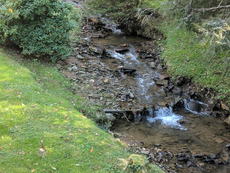
Lake country and leaf country come together on Highway 70. Running through Vilas and Oneida counties, this route passes some of the highest concentrations of freshwater lakes in the region.
Towns like Eagle River and Boulder Junction sit near the road and make easy fuel or snack stops. The area around Eagle River is well known for its chain of connected lakes.
Pines stay green all year, so they frame the changing hardwoods nicely. That evergreen backdrop keeps the color show going even as some leaves drop.
Watch for wildlife near dawn and dusk, since deer are common in these woods. Slow driving pays off here anyway, because the lake views come one after another.
5. Lumberjack Scenic Byway, Oneida and Forest Counties
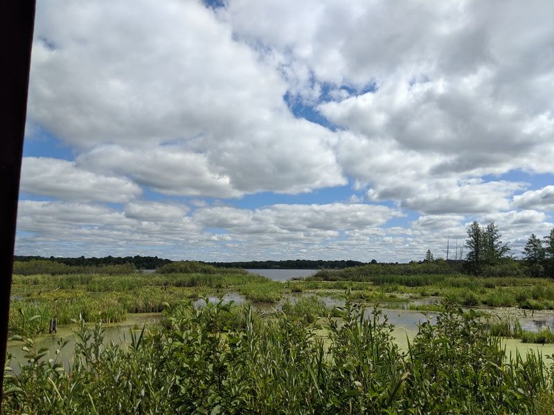
Logging history runs deep along this route, which loops for roughly 60 miles through the Nicolet side of the national forest. The byway connects several small communities in Oneida and Forest counties.
You will pass lakes, streams, and thick northern hardwoods that turn early in the season. There are boat launches and trailheads if you want to add a paddle or a hike.
The full loop takes a couple of hours without stops, so plan a half day to enjoy it. Cell service can be spotty, which makes it a good route for unplugging.
Fall here leans heavy on maple and aspen, so the palette skews bright yellow and deep red. Bring a paper map since some spur roads are easy to miss.
6. Highway 63 From Cable to Hayward, Sawyer County
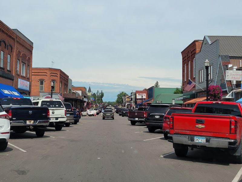
Mountain biking fame put Cable on the map, but fall driving is another reason to point your car this way. Highway 63 links Cable and Hayward through forested hills and lake country in Sawyer County.
Hayward sits near the Chequamegon-Nicolet National Forest and is home to the National Fresh Water Fishing Hall of Fame. That museum features a giant walk-in fish sculpture you can climb inside.
The rolling terrain along this stretch gives you longer sightlines than flatter routes. When the maples turn, you can see color rippling across the ridges.
Add a spin down one of the forest side roads near Cable for quieter views. The whole corridor stays scenic from town to town.
7. Turtle-Flambeau Flowage Area, Iron County
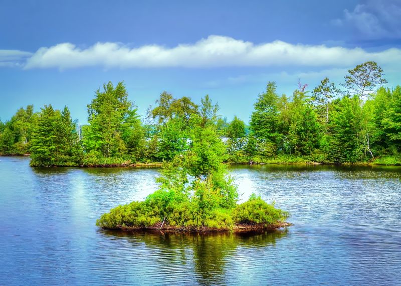
Islands and open water make this spot different from the pure forest drives on the list. The Turtle-Flambeau Flowage near Mercer covers thousands of acres and is dotted with small wooded islands.
Roads around the flowage give you glimpses of the water framed by turning trees. Boat landings offer a chance to view the color from the shoreline.
The area is managed as a scenic waters zone, so much of the shoreline stays undeveloped. That keeps the fall scenery natural and uncluttered.
Mercer, the nearby town, is known for its large loon statue if you want a quick roadside stop. Time your visit for a calm morning when reflections double the color on the water.
8. Highway 51 and the Northern Highland-American Legion State Forest, Vilas County
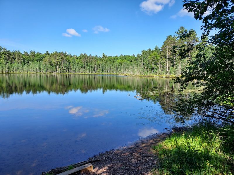
One of the largest state forests in Wisconsin surrounds much of this drive. The Northern Highland-American Legion State Forest spans hundreds of thousands of acres near Minocqua and Woodruff.
Highway 51 carries you through the region, with plenty of side roads leading to campgrounds and lakes. The forest holds more than 900 lakes within its boundaries.
Minocqua works well as a home base, with shops and dining along its main strip. From there you can branch out in almost any direction and find color.
Stop at Clear Lake or one of the forest trailheads for a short walk among the trees. This drive rounds out the list because it packs so much forest and water into one accessible area.
Enjoyed this story?
Add Fast Food Club as a preferred source to see more of our reporting on Google.