


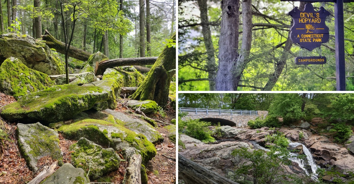
Some Connecticut trails feel like a parking lot with trees. This one feels more like a secret that locals keep forgetting to tell.
Tucked into the hills of East Haddam, a 60-foot waterfall sits just a short walk from your car, and an orange-blazed loop leads to an overlook that rewards every rocky step. There is a covered bridge, a quiet campground, picnic tables with grills, and a legend about the Devil himself leaving marks in the stone.
Entry is free, the trails loop back to the start, and an early arrival can mean having a rock by the falls all to yourself. Keep reading for the history, the best trail, the tricky spots, and the simple tips that make a day here run smoothly.
A Rocky Forest Hideaway in East Haddam
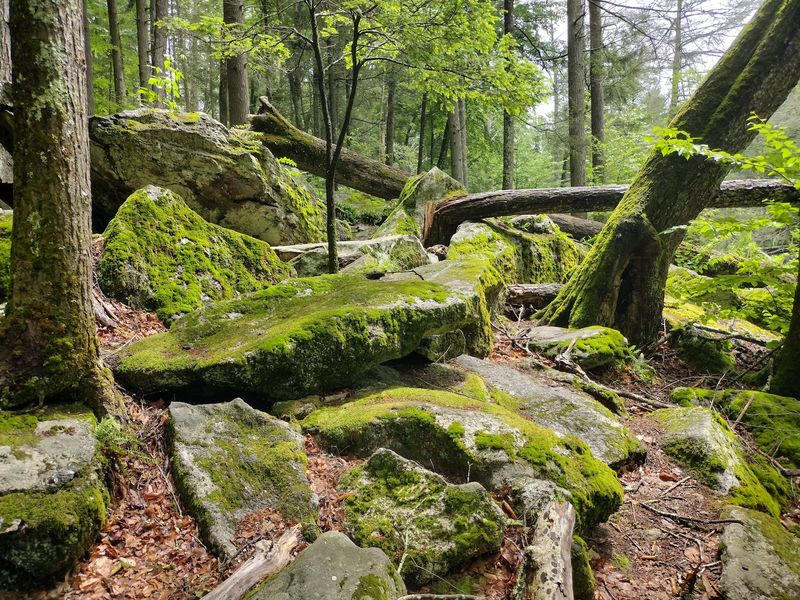
Some state parks announce themselves with giant signs and visitor centers. Devil’s Hopyard State Park does not, and that quiet personality is part of its charm.
The park sits at 366 Hopyard Rd, East Haddam, CT 06423, in the southeastern part of Connecticut. It covers about 860 acres of rocky forest crisscrossed by hiking trails.
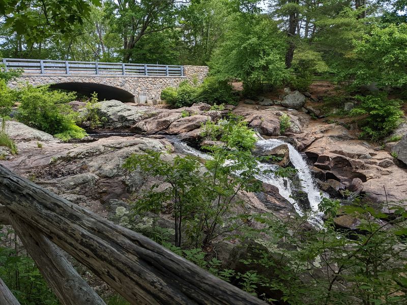
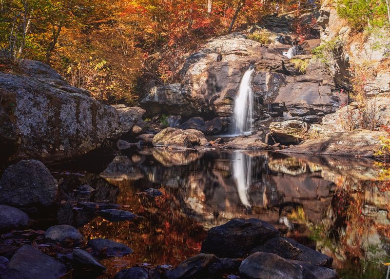
The star of the show is Chapman Falls, a 60-foot cascade that has drawn hikers for generations. Around it, streams wind through the woods and trails climb toward a scenic overlook.
There is no park building here. That means no gift shop, no café, and no fancy lobby, just trails, picnic spots, a campground, and plenty of room to breathe.
The park is a popular pick for day trips, family picnics, trail hiking, and camping. It also works for a quick stop when you only have time to see the falls.
Parking is free, which makes it easy on the wallet. The setup is simple, and that simplicity is exactly what keeps people coming back for another round.
The Devil’s Hoofprints Legend
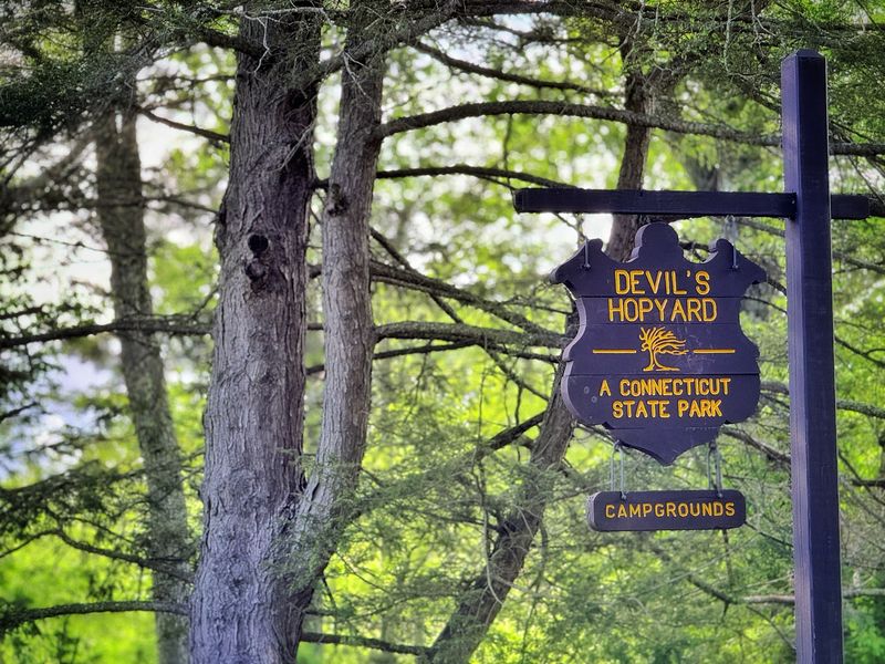
Few parks come with a name this mysterious, and the backstory lives up to the billing.
At the base of Chapman Falls, you will find smooth, cylindrical potholes carved into the rock. Swirling stones and water shaped them over a very long time.
Early settlers had a more colorful explanation. They believed the round holes were hoofprints left by the Devil after he got his tail wet in the waterfall and stomped off in a huff.
A second theory is far less dramatic. A tenant farmer named Dibble supposedly grew hops in the area, and over time “Dibble’s Hopyard” slowly shifted into “Devil’s Hopyard.”
Nobody can say for sure which version is true. Most people pick the spookier one, because it makes a much better campfire story.
Either way, the potholes are worth a close look when you reach the bottom of the falls. They are real, they are strange, and they are a fun way to get kids curious about geology without calling it a lesson.
Mills, Loyalists, and a Broken Millstone
Long before hikers showed up with trail maps, Chapman Falls had a job to do.
The waterfall once powered local grist and sawmills known as Beebe’s Mills. They ran from the 1800s until the mid-1890s.
The site has an even older chapter tied to the American Revolution. In 1775, the mill site was attacked by the Sons of Liberty because it was owned by pro-British loyalists.
Here is a fun fact for history fans. A piece of a broken millstone from that event was found near the falls in 2002, more than two centuries later.
Today, the area around the falls feels peaceful, with no sign of busy industry. Still, knowing that this quiet corner once turned grindstones and saw blades adds a layer to the visit.
It also makes the waterfall feel less like scenery and more like a character with a long résumé. Not bad for a pile of rocks and running water.
Chapman Falls Up Close
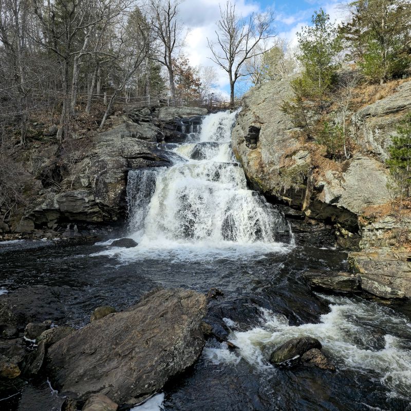
Sixty feet of cascading water, and you barely have to break a sweat to see it.
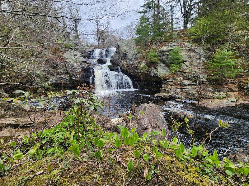
Chapman Falls is just steps from the parking area. The short walk to the front of the waterfall makes it one of the easiest big payoffs in Connecticut.
The falls tumble over several rocky ledges, creating a cascading display rather than a single drop. It is the clear highlight of the park and a favorite for photos.
The path down to the bottom is a different story. It is dirt, with tree roots and rocks, and it is short but steep.
Some people manage it fine with a walking stick. Anyone with balance issues or vertigo may want to enjoy the view from the top instead.
The water level changes the mood of the falls. When it runs higher, the waterfall can really get going, so a visit after a rainy stretch may bring a bigger show.
On a quiet day, there may be nobody else around. That leaves room to sit on a rock and simply take it all in.
The Orange Trail and Its Overlook Payoff
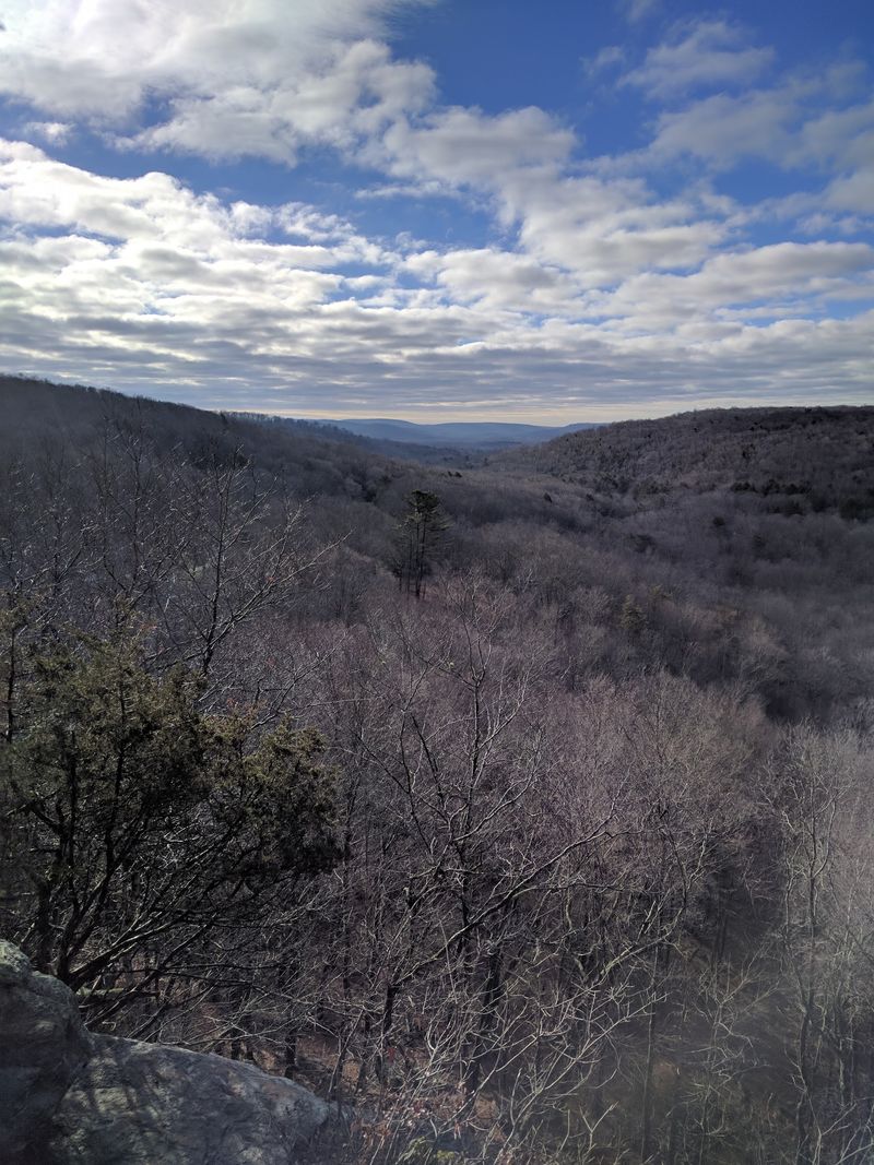
Ask hikers which route to take, and the orange trail comes up again and again.
The orange loop runs around 2.5 miles and seems to be the longest trail in the park. It leads to a vista with views over the surrounding hills.
Do not expect a stroll. The trail has lots of stones and roots, some challenging uphill climbs, and a very small rock climbing section along the way.
If your knees tend to complain, this may be the hike to skip. For everyone else, the tree-lined path and the view at the end make the effort feel worth it.
Some hikers combine it with the white trail for a moderately challenging outing. The good news is that the trails loop back to the beginning, so you will not need to retrace every step.
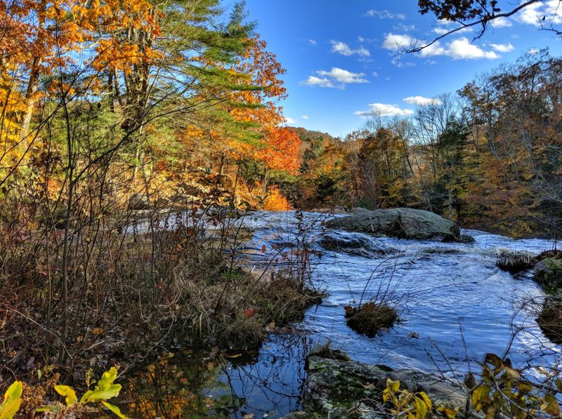
The overlook gets especially popular in fall, when the forest changes color. Bring water, take breaks, and let the view be your reward for all that climbing.
Trail Markers, Maps, and Staying on Track
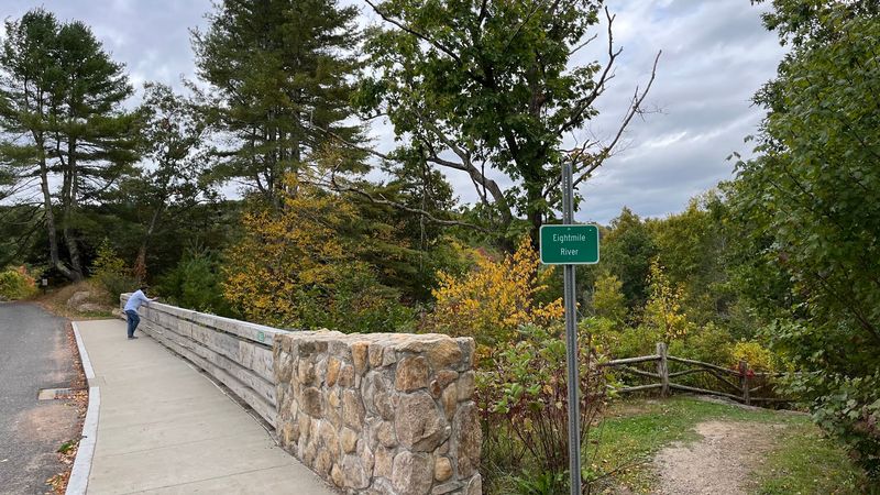
Getting lost is a lot less fun than getting a great view, so a little planning goes a long way.
Many hikers find the trails well marked and easy to follow with the trail signs. Others feel the markers get confusing where trails combine and split apart.
The fix is simple. A board right in front of the covered bridge has a QR code that pulls up the trail maps on your phone.
Save the map before you head into the woods. Cell signal can be unpredictable on any forest trail, and a downloaded copy is a smart backup.
Pay attention at junctions, especially on the longer loops. A quick pause to check the color blaze can save you from an unplanned bonus mile.
There are many different trails to try, so you can hike as far as you like. Short walk or longer loop, a little map homework keeps the day relaxed instead of stressful.
A Tidy Covered Bridge
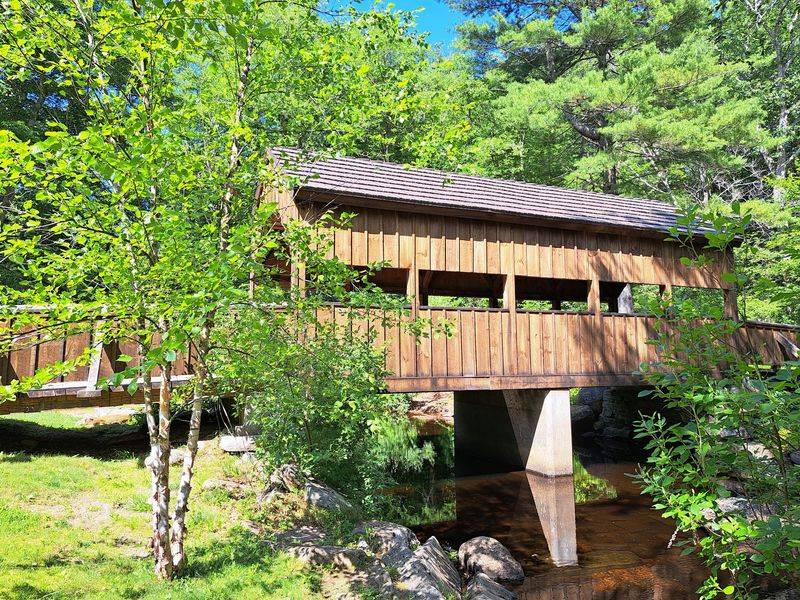
Every good park needs a postcard moment, and the covered bridge delivers one without trying too hard.
The bridge is one of the most talked-about features here, right after the waterfall. It is tidy, photogenic, and a natural meeting point inside the park.
There are two ways to plan your visit around it. You can park at the top of the falls and walk down, or enter the park, see the covered bridge first, and then walk up to the falls.
The trail map board sits right in front of the bridge. That makes it a handy starting point before heading out on any of the loops.
Photographers love the spot, and it is easy to see why. The park offers many different backdrops, and family portrait sessions often take advantage of them.
It is a small stop, but it gives the day a nice rhythm. Bridge, map, trail, falls, picnic, repeat as needed.
Swimming Holes and Streamside Spots
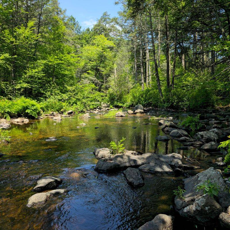
Plenty of people show up for a hike and leave wishing they had packed a bathing suit.
On warm days, people swim at the bottom of Chapman Falls. Some even climb up toward the falls, though that calls for extra care on slick rocks.
Not everyone loves the water quality, since there is a campground upstream. Use your own judgment before taking a swim.
Beyond the falls, the Eight Mile River runs through the area. Along Route 434, toward Route 82, there are spots where people wade and swim in mostly shallow water.
The streams also make the park a good pick for fishing. It is a nice change of pace after a rocky trail.
Wear sturdy water shoes if you plan to wade. The rocks that make the scenery so striking are also the ones that keep you humble.
Picnics, Pavilions, and Campfire Nights
A good hike deserves a good lunch break, and the park makes that part easy.
There are lots of picnic tables scattered around, many with fire grills nearby. It is a popular move to hike to the falls and picnic afterward.
A pavilion is also on site, and it has hosted birthday celebrations. It is a handy option for groups who want a little structure for their gathering.
For an overnight stay, there is a small campground across from the falls. It has no modern facilities, so plan on simple camping rather than resort living.
Restrooms are portable outhouses. Some are well kept and some are not, so bringing hand sanitizer and tissues is a smart call.
The trade-off for basic facilities is a quieter, more natural feel. Pack in what you need, pack out your trash, and the park stays as clean as people hope to find it.
Who This Park Suits Best
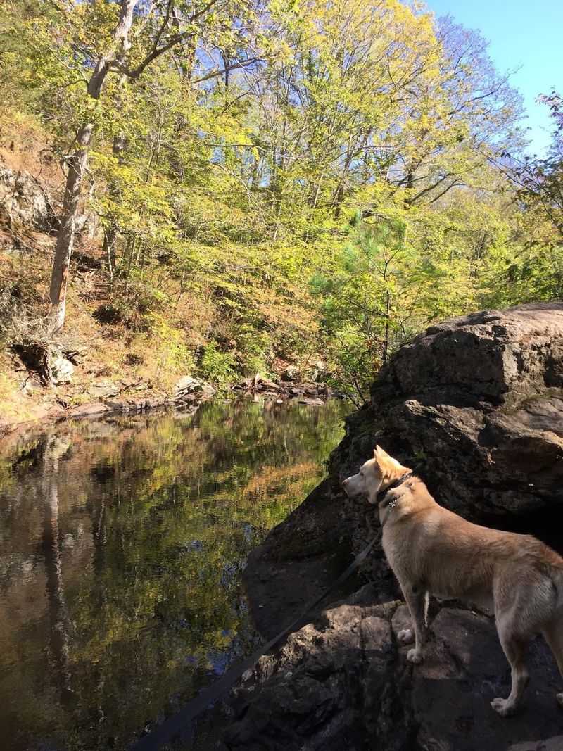
Families, dog owners, photographers, and casual walkers all find a slice of the park that fits.
Kids can handle a lot here, and families have brought children as young as seven on the orange trail. Still, the rocky ground can be tough for elderly hikers and very young children.
Dogs are welcome, and plenty of them show up. Very small dogs may struggle on the rougher trails, though.
Anyone looking for a quick win can stick to the short walk to the falls. Those after a workout can tackle steep inclines and uneven ground on the longer loops.
The path to the bottom of the falls is not paved. It is not accessible for everyone, so plan accordingly.
Signs in the park remind people to be aware of bears, and hiking in groups is a good idea. Keep an eye out for snakes on the trails, too.
With a little preparation, most groups can shape a day that suits their pace.
Timing, Parking, and Beating the Crowds
Early birds get the trails, and at this park they often get the waterfall too.
Going in the morning is a reliable way to avoid larger crowds. Hikers who arrive early describe the trails as calm and serene.
Parking is plentiful. There is one lot for the falls, another for the main state park area, and a third for the campground.
Connecticut residents park for free, which makes this a budget-friendly day out. For the latest hours and updates, check the official CT Parks website before you go.
Fall is a standout season, with color along the trails and at the overlook. The park offers something in every season, and spring can bring higher water at the falls.
A sunny day makes the rocky trails easier to handle. Wet roots and stones can turn a moderate trail into a slippery puzzle.
Nearby, Gillette Castle makes a great add-on stop. Pair the two, and you have a full day.
A Quiet Reward Worth the Rocky Steps
Sometimes the best places are the ones that do not shout for attention.
Devil’s Hopyard keeps things simple. A big waterfall, a covered bridge, a challenging loop with a view, and a legend with a devilish twist.
It is not polished, and that is part of the appeal. The trails are rocky, the facilities are basic, and the payoff feels earned.
Short visits work just fine. A quick stop at Chapman Falls can be enough to brighten a road trip through East Haddam.
Longer visits open up more. Hike the orange trail, picnic by the grills, and stay overnight at the campground if you want more time in the woods.
Come early, wear good shoes, and save the trail map. The Devil may have left his footprints here, but you will want to leave yours on the trail more than once.
Enjoyed this story?
Add Fast Food Club as a preferred source to see more of our reporting on Google.