


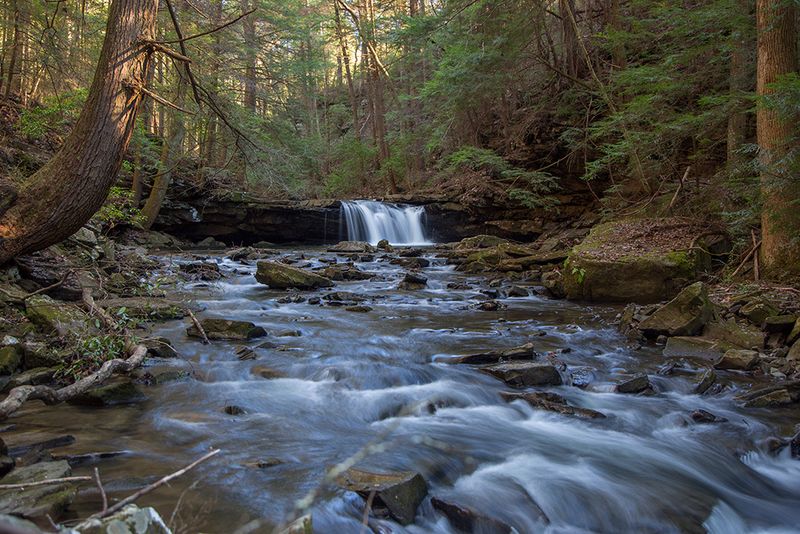
A short walk in the woods of middle Tennessee hides something most trails would need many miles to deliver. Along a creek that twists through rock and root, waterfalls line up one after another, and you can see them all in about two miles.
Midweek visitors often have the path almost to themselves, which feels rare for a spot this scenic. The trail rolls up and down without getting steep, so families with small children walk it just as comfortably as seasoned hikers.
There is also an old camp site tucked into the forest, a piece of history that adds depth to the greenery. This article walks you through the loop, its story, its standout features, and the small tips that make a visit smoother.
Keep reading and you might just plan your next weekend around it.
A Quiet Trailhead Off Fiery Gizzard Road
Tucked at 131 Fiery Gizzard Rd in Tracy City, Tennessee, the Grundy Forest State Natural Area sits inside the larger South Cumberland State Park. The place carries a big reputation for such a small footprint, earning a 4.8 star average across hundreds of reports.
Parking and restrooms wait right at the Fiery Gizzard trailhead, and the bathrooms get praised for being clean. The trailhead itself sits just past those restrooms, so first-timers rarely have trouble finding the start.
Once on the path, a sign lets you choose to walk the loop clockwise or counterclockwise. Both directions serve up roots, rocks, and a few sets of steps, so there is no easy way out of the terrain.
The original parking lot is free but small, and overflow parking nearby is paid. Arriving early on busy days helps you grab the free spots before they fill.
Open every day from 8 AM to 4:30 PM, the area rewards those who show up ready for a real woodland walk rather than a paved stroll. It is a genuine forest, and it feels like one from the first few steps.
The Grundy Day Loop in a Nutshell
Most people who come here walk the Grundy Day Loop, a route that runs about two miles round trip. It threads through forest, follows a creek, and passes several waterfalls along the way.
Beginners tend to leave impressed by how manageable it is. The trail goes up and down, though never steeply, and a few narrow spots and stone steps slow the pace just enough to keep things interesting.
Because the loop is short and scenic, plenty of folks return to walk it more than once. It works as a quick outing when you only have a couple of hours to spare.
Some regulars stretch the distance to around three miles depending on the route they choose. The extra mileage adds more of the same reliable mix of water, rock, and greenery.
For a hike that packs this much variety into so little ground, the Day Loop earns its steady stream of high marks. It is the heart of what makes Grundy Forest special.
Waterfalls Around Nearly Every Bend
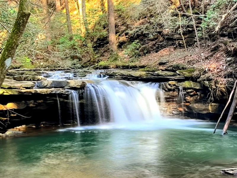
Water is the true star here, and it shows up again and again. Along the loop you meet numerous falls and riffles, each with its own shape and rhythm.
The abundance is no accident. After a good rain, the flow picks up speed and the whole forest seems to run with moving water, turning an already pretty walk into something even more dramatic.
Waterfalls come up more than any other topic when people talk about this park, which says a lot about the payoff for such a short trek. Few trails deliver so many in so little distance.
The creek that connects them keeps you company through most of the loop. It slips over ledges, gathers in pools, and generally refuses to let the scenery get dull.
Cool, fast water after storms adds real energy to the setting. Just remember that the same rain makes the rocks slick, so timing matters if you want the falls at their fullest.
Sycamore Falls and the Out-and-Back Detour
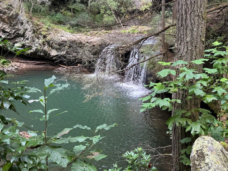
About three quarters of a mile in, a metal bridge crosses the river, and a sign there marks 1.3 miles left to finish the loop. Cross that bridge and you head toward Sycamore Falls instead.
Worth knowing: that route to Sycamore Falls is an out-and-back, not part of the loop. So you will retrace your steps to return.
Sycamore is one of the bigger falls in the area, which makes the extra effort tempting. Getting to it involves crossing rocks that turn slippery when wet.
After heavy overnight rain, the approach can climb well past moderate difficulty, even for experienced walkers. Slick rocks and roots make the footing tricky in those conditions.
If storms have rolled through recently, it may be wise to admire this one from a distance or save it for a drier day. On calmer days, though, the larger cascade is a fine reward for the detour.
Rocks, Roots, and Real Footing
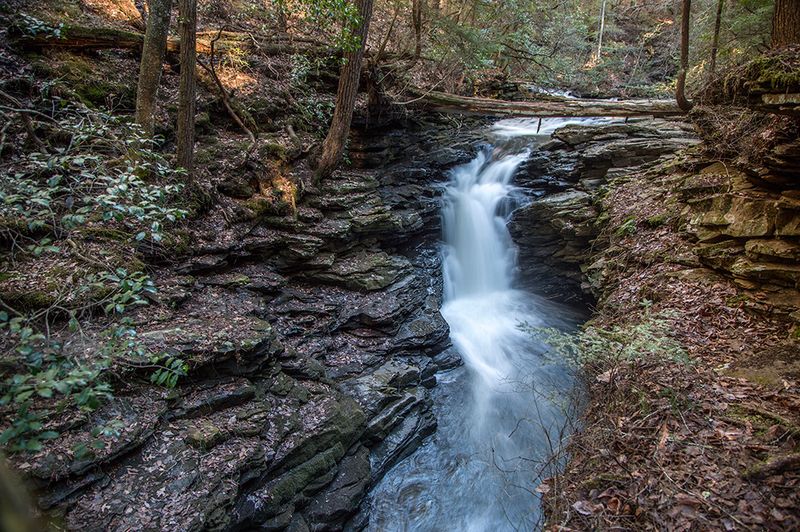
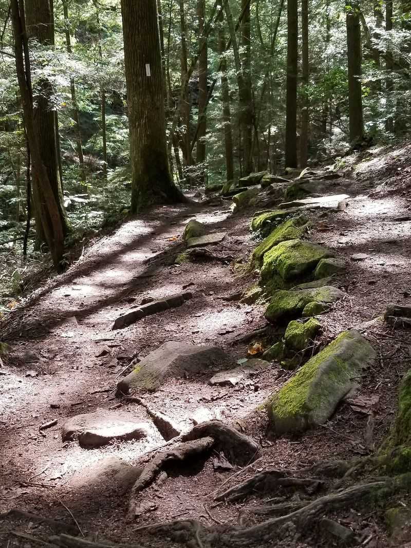
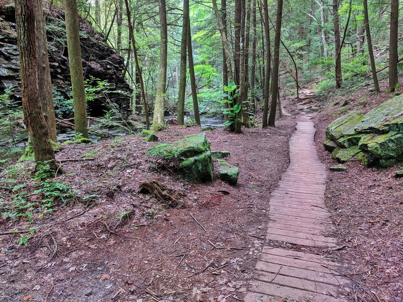
Uneven ground defines this trail as much as the water does. Roots weave across the path and rocks pop up where you least expect them, in both loop directions.
Good footwear is not just a suggestion here. The terrain includes rocky stretches, sections where you step over roots, and a few steep staircases that ask for steady balance.
Many walkers bring a hiking stick, and it genuinely helps in the rougher parts. In places you end up stepping across rocks, and that extra point of contact keeps you sure-footed.
The trail runs downhill easily in spots and gets rougher on the way back up. Wet conditions raise the challenge, so proper shoes make a real difference.
None of this should scare off newcomers. The rocks and roots simply give the loop its character, turning a stroll into a small adventure without ever getting truly punishing.
A Depression-Era Camp Hidden in the Woods
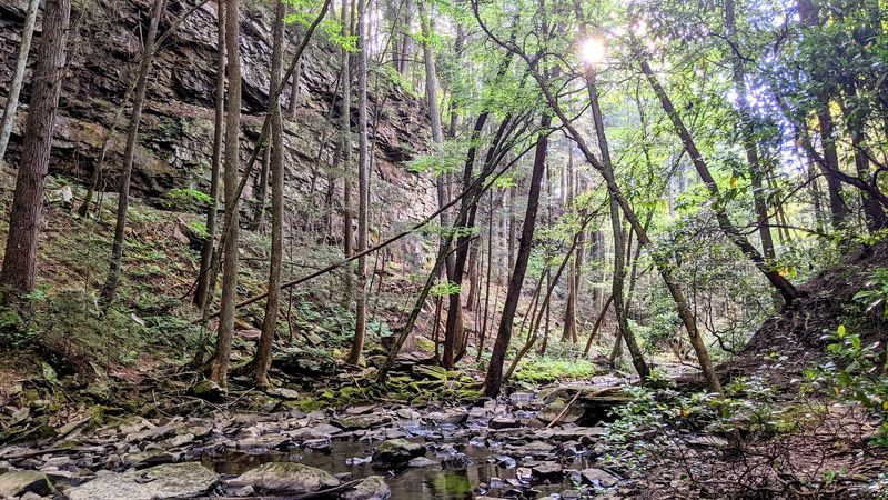
Beyond the scenery, the loop carries a slice of history worth pausing for. Along the way sits a historic site from a Depression-era camp where young boys were sent by their families to work on state-owned land.
The arrangement was practical for hard times. The boys received food, clothing, and shelter, plus thirty dollars a month, twenty-five of which they sent home to help their families.
Learning that story mid-hike changes how the forest feels. Suddenly the quiet woods hold echoes of people who lived and labored here long before it became a walking destination.
Other historic touches turn up too, including the site of an old still tucked somewhere along the route. These small markers reward curious hikers who slow down to read the signs.
History and nature rarely share a trail this gracefully. That blend gives Grundy Forest a depth you do not always find on a two-mile loop.
Swimming Holes and Summer Splashing
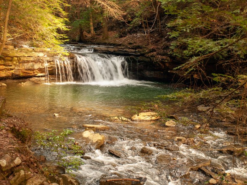
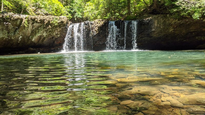
When the weather warms up, the creek becomes more than scenery. Swimming holes dot the route, and summer hikers often pack a towel and swimsuit to cool off partway through.
Families make the most of these spots. Many stop halfway around the loop to let kids play in the water and share a quick snack before finishing the walk.
The pools sit safely among rocks, giving people a place to rest and wade. After rain, though, the current runs fast and cold, so calmer days suit water play better.
Even those who prefer to stay dry appreciate the pauses these pools create. They break the hike into pleasant segments and give tired legs a moment off the trail.
A dip in the creek turns a good hike into a small summer outing. Just gauge the water speed before wading in, especially after storms.
Gateway to the Fiery Gizzard Thru-Hike
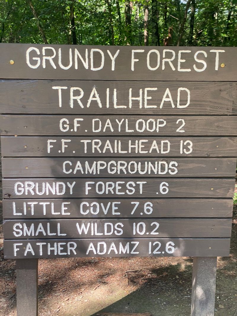
For those hungry for more, this same trailhead opens the door to the famous Fiery Gizzard Trail. The thru-hike stretches far beyond the gentle Day Loop and enters serious territory.
The full route to Raven’s Point and beyond covers roughly eleven to thirteen miles and can take around eight hours to complete. Steep inclines and plenty of rock hopping make it demanding.
The overlook at Raven’s Point draws praise as a phenomenal view, a fitting reward for the strenuous effort. Waterfalls and, in cold months, ice formations appear along the way.
You can also hike from here toward Foster Falls, a trek that runs over ten miles one way. Some walkers turn back partway, such as at the Dog Hole Mines, to shorten the day.
This is not a route for beginners. Bring ample food and water, prepare thoroughly, and treat the distance with respect, and the wilder trail delivers something unforgettable.
Primitive Camping for Overnighters
Some visitors do not want the day to end, and the park makes room for them. Primitive camping is available near the Fiery Gizzard trailhead for those who want to stay longer.
Rustic is the right word for it. The campsites are sufficient but come without tent pads, and the latrine is very basic, so campers should arrive prepared for simple conditions.
The setup suits people who enjoy backcountry stays over polished campgrounds. It keeps the experience close to the forest and light on amenities.
Anyone planning to camp should pack plenty of water and food, since supplies are not close at hand. The remote feel is part of the appeal, but it asks for self-sufficiency.
Waking up in these woods stretches a short loop into a fuller outdoor escape. For the right kind of camper, the primitive comfort is a feature, not a drawback.
Signs, Signals, and Smart Navigation
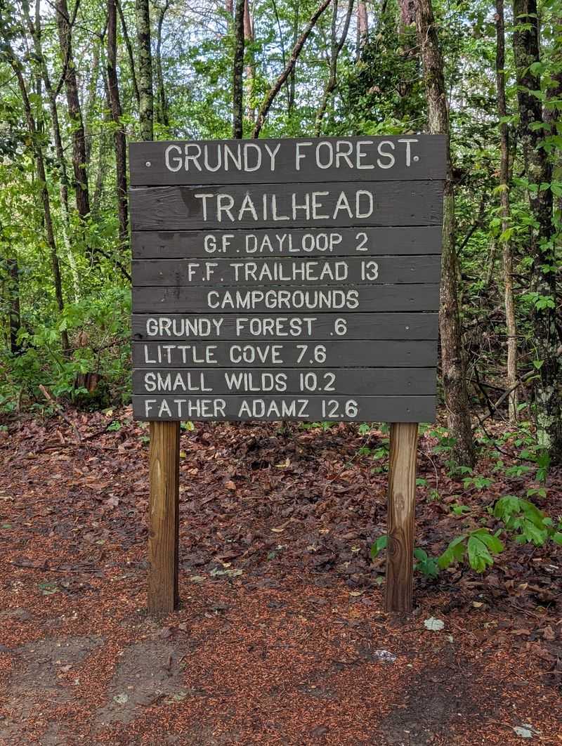
One honest heads-up shapes how you should prepare: navigation here takes a little effort. The trails are not always labeled, and folks often wish for more signage throughout the park.
The way is marked mainly by white reflective triangles on trees. Miss those and the route can feel confusing, especially for anyone not used to reading trail markers.
Downloading the park app for a proper map comes highly recommended. Phone signals run weak in the woods, and the posted QR codes can be hard to use once you are on the trail.
There is no welcome center or staffed office here. After you set out, you are essentially on your own, so a little planning goes a long way.
None of this ruins the outing. Load your map before you arrive, keep an eye out for the triangles, and the loop stays friendly and clear from start to finish.
Planning Your Visit and the Final Word
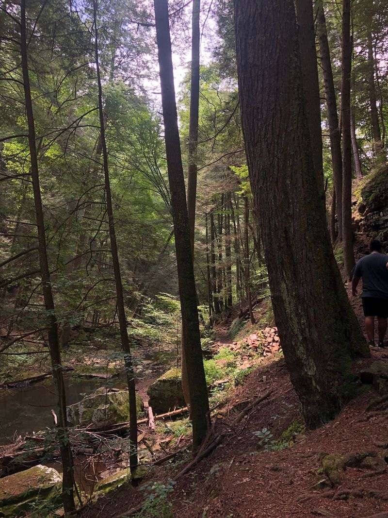
Timing and gear make the difference between a smooth trip and a scramble. The natural area is open daily from 8 AM to 4:30 PM, so plan to start early enough to finish comfortably.
Weekdays reward you with quiet. Midweek hikers often enjoy the loop without crowds, a real treat given how popular the falls are on weekends.
Bring water, light snacks, and sturdy shoes, and consider a hiking stick for the rocky stretches. Leashed dogs are welcome, and there are picnic tables for a relaxed break.
The site even offers free EV charging through the Rivian Adventure Network, a handy perk for modern road-trippers. Restrooms and picnic spots round out the basics.
Between the string of waterfalls, the manageable distance, and the hint of history in the trees, this corner of South Cumberland delivers far more than its size suggests. Pack smart, arrive early, and let the quiet loop show you why so many people keep coming back.
Enjoyed this story?
Add Fast Food Club as a preferred source to see more of our reporting on Google.