


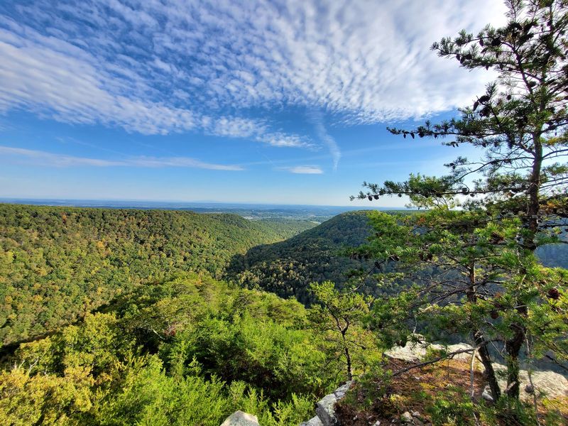
Tucked into the Cumberland foothills sits a trail where the first mile hands you rushing creek water, giant boulders, and mysterious mining tunnels before your legs even get tired. You do not have to conquer six miles to feel rewarded here, because the payoff starts almost the moment you leave the parking lot.
Old iron and coal history hides in the woods, swimmers claim sunny rock ledges, and climbers haul crash pads toward towering stone. There is even a whisper of local legend that keeps things interesting.
The catch? Parking fills up faster than you might expect, so timing matters.
Keep reading to learn where this Dayton, Tennessee favorite is, what makes each stretch worth your steps, and how to plan a visit that fits both quick strolls and bigger adventures.
A Cumberland Foothills Escape Near Dayton
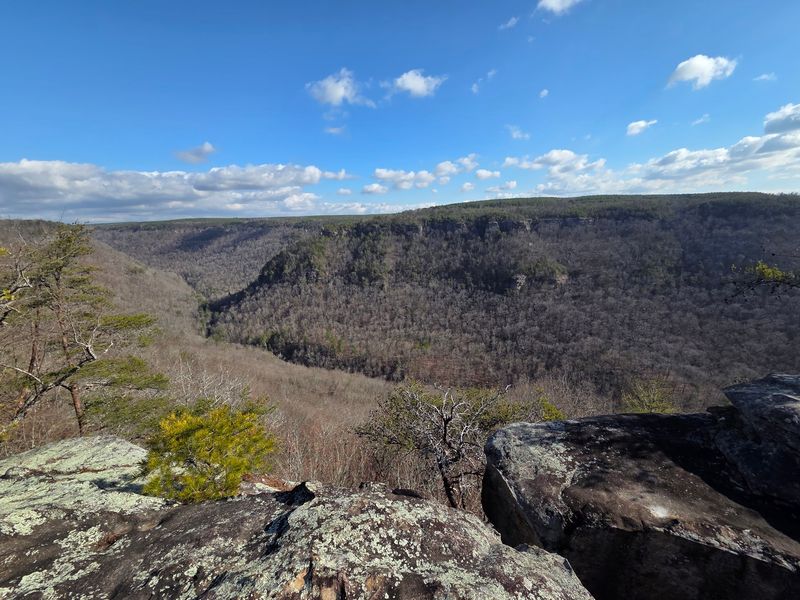
Rhea County holds a nature preserve that rewards short-mileage hikers with an outsized amount to see. Laurel Snow State Natural Area sits at 1098 Pockett Wilderness Rd #100, Dayton, TN 37321, tucked into the wooded ridges of eastern Tennessee.
The property carries a 4.8-star reputation across more than 600 posted opinions, which is a rare level of agreement for any outdoor spot. Much of that praise circles back to how easy the opening stretch feels while still delivering scenery.
A rushing creek runs alongside the trail for most of the way, giving you steady company as you walk. Boulders, bridges, and small waterfalls appear early, so the good stuff does not wait until the end.
Regulars describe the first mile or so as gentle and welcoming, ideal for casual walkers and families who want views without a grueling climb. The terrain gets steeper later if you crave more, but the light version is genuinely satisfying.
Consider this your quiet introduction to a place that packs history, water, and stone into a compact adventure.
From Working Mine To Protected Wilderness
Long before this became a place for weekend walks, it was a hive of industry. The land once served as a working site tied to iron, coal, and coke operations, and pieces of that past still stand quietly in the trees.
Structural remnants dot the route, giving history buffs something to study between water features. At one point the area even supplied water to the town of Dayton, and an old reservoir survives as proof.
Signs along the trail share a few of these stories, and a little research beforehand adds even more depth to what you spot. The blend of natural beauty and human history makes the walk feel layered rather than one-note.
Part of the Cumberland Trail linear route also passes through here, connecting this preserve to a much larger network. That link gives ambitious hikers room to extend their day well beyond the easy opening stretch.
Knowing that the woods were once busy with machinery makes the current calm feel earned and a bit remarkable.
The First Mile Anyone Can Handle
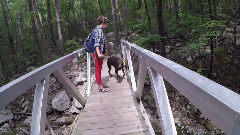
Not every trail lets you skip the suffering and still collect the views, but this one does. The opening mile or two runs on very manageable terrain, making it a friendly choice for beginners, kids, and dogs.
Water and beautiful rock formations show up almost immediately, so you feel rewarded without earning blisters. Folks who only walk the early section still leave saying it was well worth the trip.
The path parallels the creek for most of this stretch, keeping the scenery lively as you stroll. Small waterfalls appear around bends, giving you natural stopping points for photos.
Things do shift later, with more elevation and rockier footing waiting past the first mile. But you get to decide how far to push, which is part of the appeal.
For anyone wanting big scenery on a light schedule, that gentle beginning is the whole selling point. Turn around whenever you like and you will still feel like you saw something special.
Waterfalls Around Every Bend
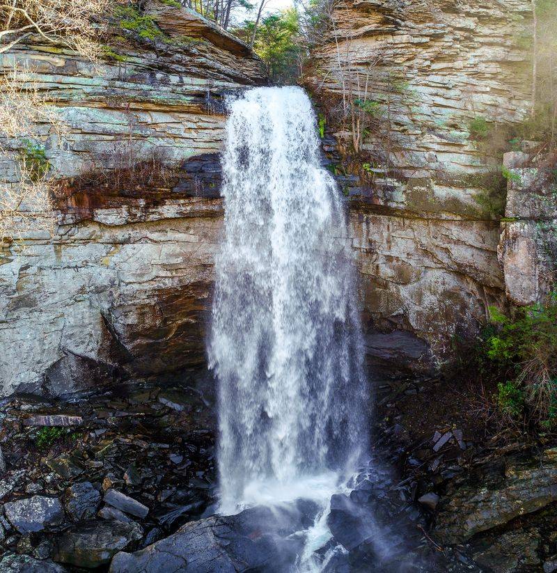
Water is the headline act here, and it earns top billing. Waterfalls are the single most talked-about feature of the area, mentioned more than any other detail.
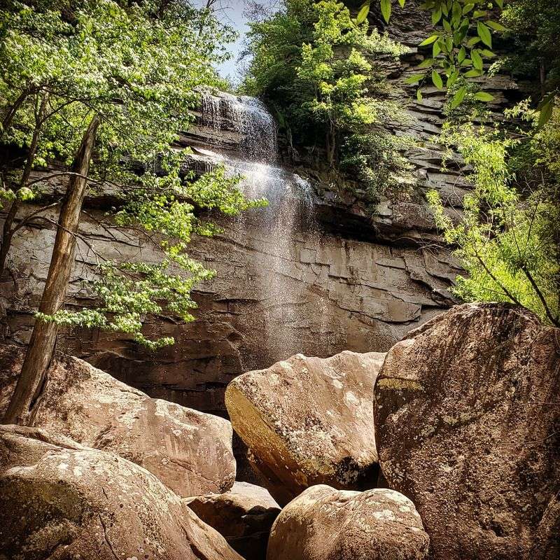
The property holds multiple falls, including Laurel Falls and Snow Falls, plus a string of smaller cascades scattered along the way. Some accounts even point to a twin waterfall with a swimming hole and yet another fall stacked above it.
Timing shapes how dramatic they look. Visits after heavy rain reveal powerful, roaring falls, while dry spells in mid-autumn can leave the flow disappointingly thin.
The main trail typically leads to the bottom of Laurel Falls, but adventurous hikers can scramble boulders to reach the top and stand beneath it. That extra effort is optional and best left to sure-footed visitors.
If chasing cascades is your goal, plan around recent rainfall for the fullest show. The reward is a landscape that feels alive with movement.
A Creek That Walks With You
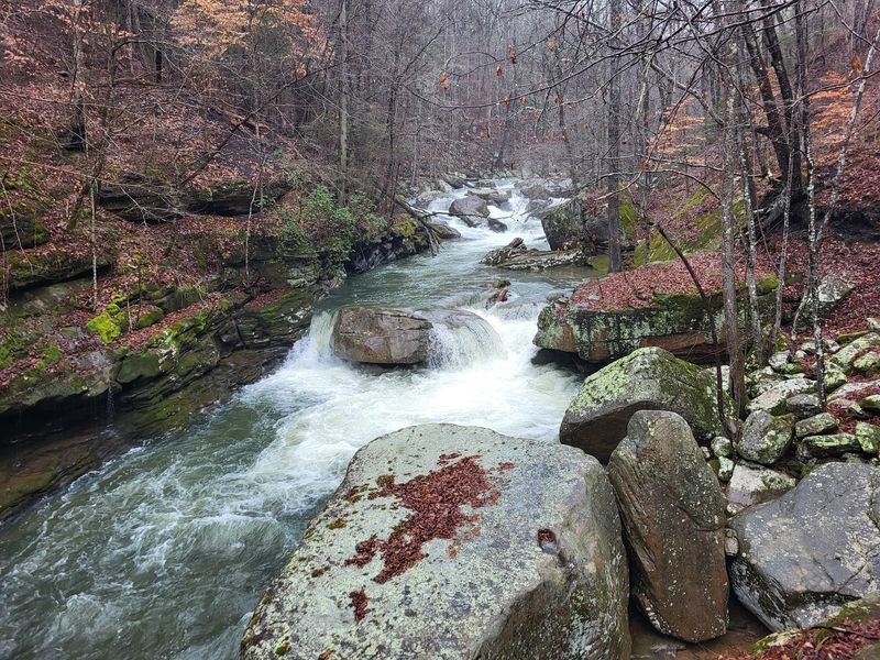
Constant company is a rare gift on a trail, and here the creek delivers exactly that. Richland Creek runs parallel to the route for most of the hike, so flowing water is almost always within sight.
The creek ranks among the most mentioned highlights, right behind the waterfalls and the hiking itself. Its presence keeps the walk feeling fresh even on the flatter early sections.
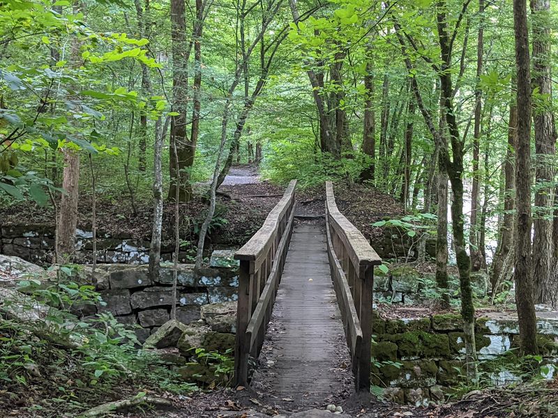
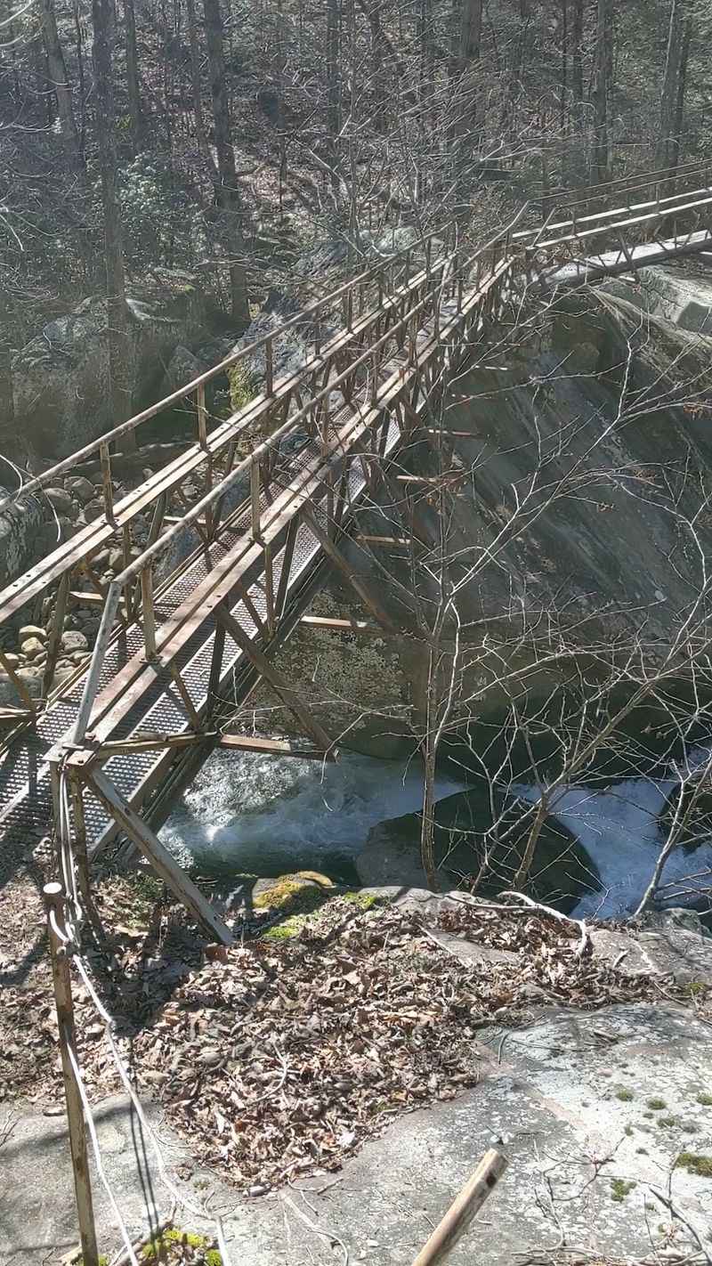
Bridges cross the water at several points, and one stretch may require stepping across stones jutting out of the current. That crossing turns a simple walk into a small, fun challenge.
Because the water is such a steady feature, the scenery never gets dull as you move deeper in. There is always another bend, another ripple, another rock formation to notice.
For many walkers, the creek alone justifies the trip long before any waterfall comes into view. It is the quiet backbone of the whole experience.
Boulders Built For Climbers
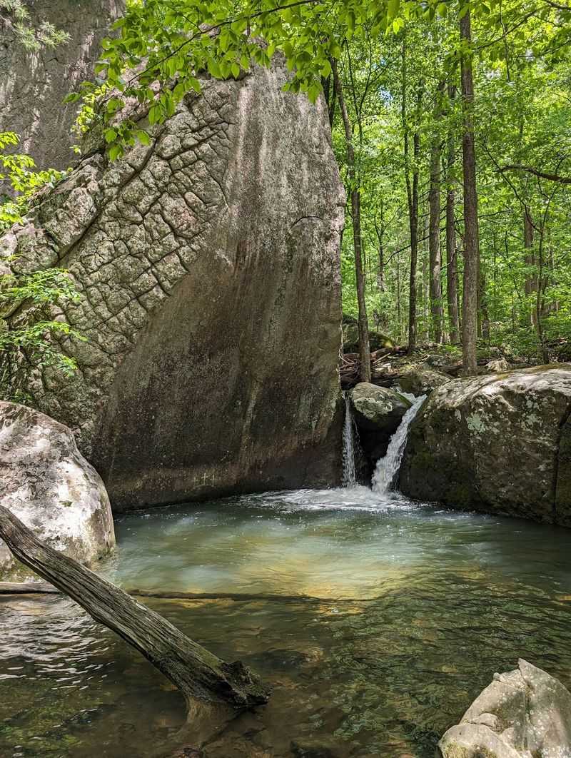
Stone here does more than sit pretty. The area has quietly become a popular bouldering destination, drawing climbers who haul crash pads in and out along the trail.
Problems range from beginner-friendly to seriously advanced, spanning grades from V0 all the way to V14, with room for even harder lines. That spread means both curious first-timers and seasoned climbers find something to test themselves on.
Boulders rank among the frequently noted features, and spotting climbers at work adds energy to the scene. Even non-climbers enjoy watching the action unfold on the rock.
Giant flat stones also line the creek, doubling as spots to lounge or scramble over. The mix of climbing terrain and lounging ledges makes the geology feel interactive.
Whether you bring gear or just come to admire the effort, the boulders give this preserve a distinct sporty streak. It is a rare trail that appeals to hikers and climbers in equal measure.
The Mysterious Mine Tunnel
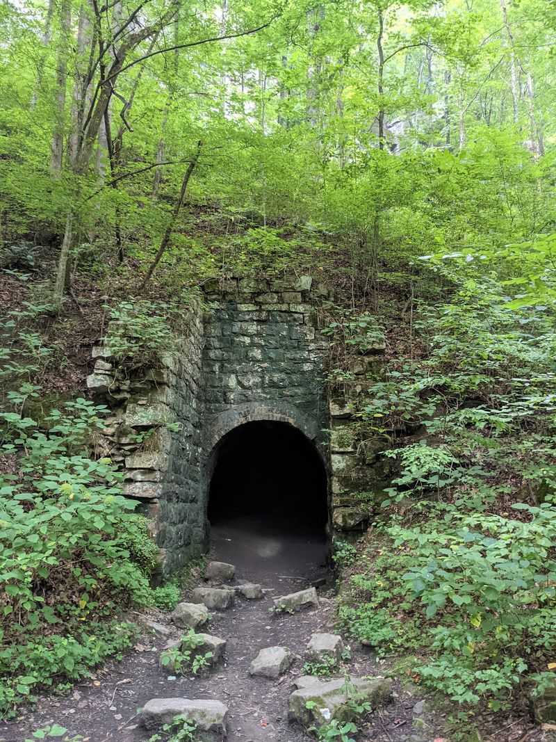
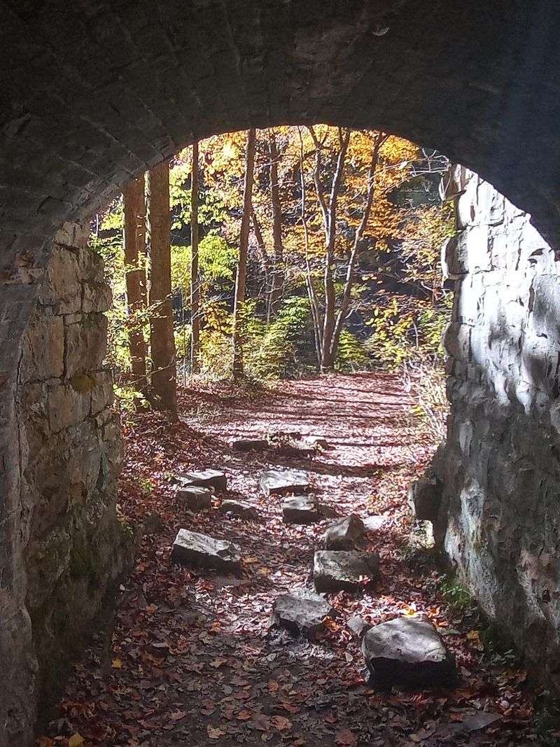
Every good trail needs a touch of mystery, and this one hides it behind brick. Early along the route sits a mine entrance, sometimes described as a cave with a brick-lined opening.
Some believe it may have been an old coke furnace tied to the property’s industrial past. Whatever its exact purpose, it stands as a genuinely intriguing relic worth pausing at.
Those who have peeked inside describe it as eerie and fascinating, though exploring it safely requires a strong flashlight. Plenty of walkers simply admire it from the outside and move on.
The tunnel appears fairly early on the trail, so even short-hike visitors can catch this piece of history. It pairs nicely with the other mining remnants scattered through the woods.
A little curiosity goes a long way here, turning a quick stop into a memorable highlight. Just approach the opening with caution and respect for its age.
Swimming Holes And Sunny Rock Ledges
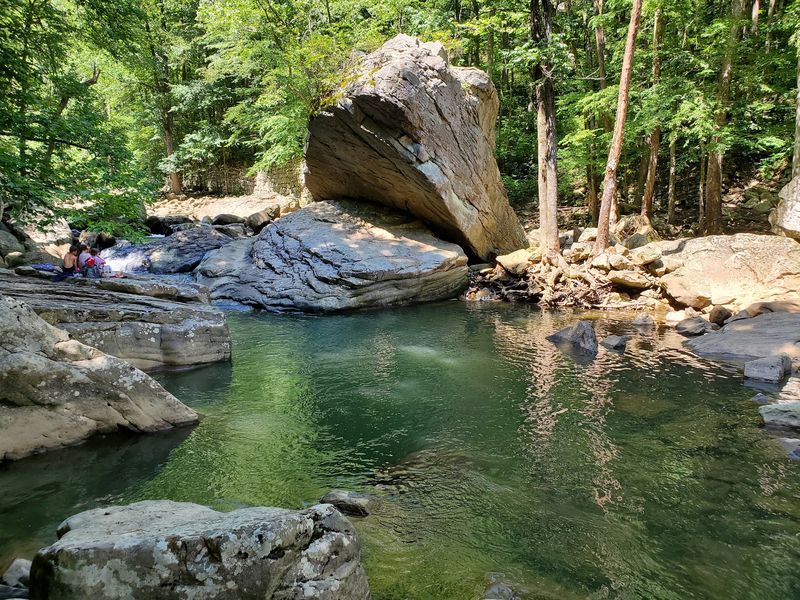
When the walking gets warm, the water invites you to cool off. Several swimming areas dot the first leg of the trail, complete with small falls and pools worth a dip.
Giant flat rocks sit beside these pools, perfect for stretching out and taking a break. Swimming holes come up often as a favorite feature, especially during hotter months.
Because these spots appear early, you do not need to hike far to enjoy them. That makes them ideal for families and casual visitors who want relaxation over mileage.
The pools scattered along the creek turn the outing into more than just a hike. They add a playful, refreshing layer to the adventure.
Keep in mind this is raw nature with no built amenities, so there are no playgrounds or manufactured comforts. The water and rocks are the entertainment, and for many that is exactly the draw.
Buzzard Point And The Big Overlooks
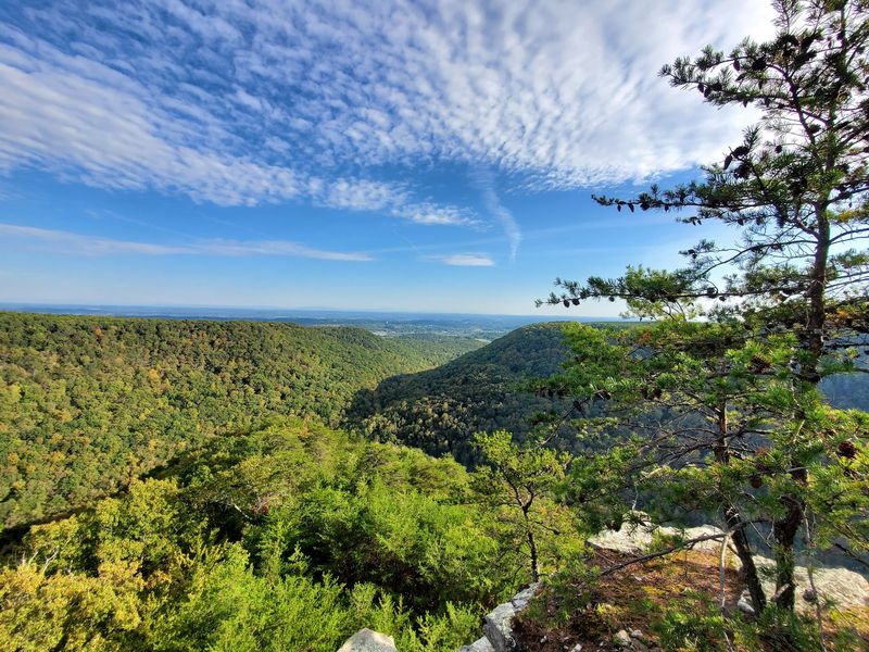
Reward the climb and the ridge pays you back with a view. Buzzard Point serves as one of the scenic lookouts in the preserve, offering wide panoramas over the surrounding landscape.
Reaching it involves climbing out of the creek watershed onto the crest, which counts as the more challenging portion of the trip. The effort is steeper than the easy opening stretch, but the payoff is worth it.
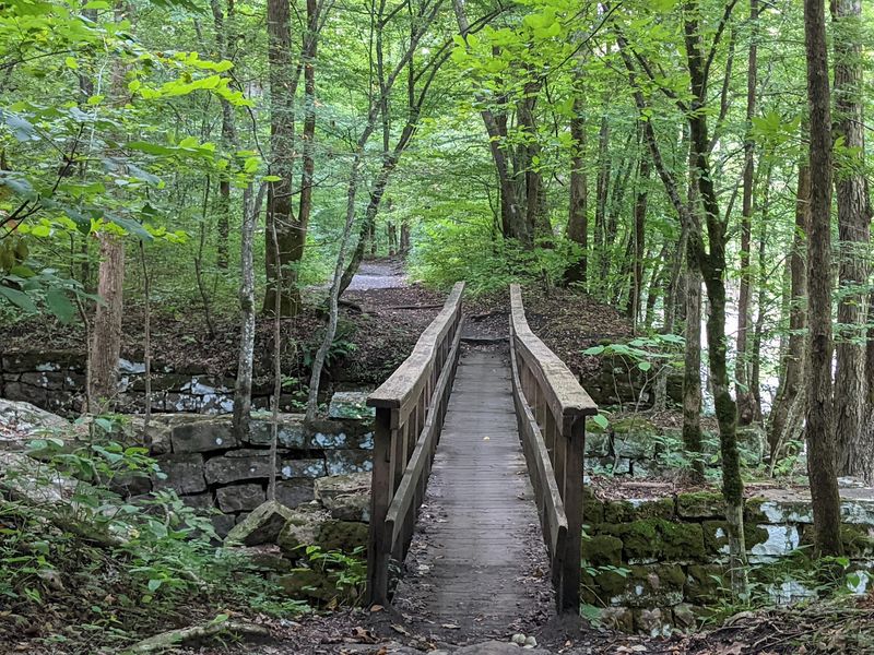
Two wooden bridges wait to be crossed near Buzzard Point, adding character to the approach. Overlooks are among the noted highlights, giving ambitious hikers a clear goal.
The trail also connects to a completed Cumberland Trail section running from Morgan Creek bridge toward route 30. That link opens up longer routes for those with energy to spare.
Anyone craving a bigger view can push past the gentle beginning and earn a sweeping perspective from the top. It transforms an easy stroll into a proper climb when you want one.
Campsites Tucked Into The Woods
Some visits deserve more than a single afternoon. Three designated campsites sit within the natural area, available for reservation through the state park website.
The sites are described as big and private, set near the creek and close to Laurel Falls. That combination makes them appealing spots to eat lunch or settle in for a night.
Overnight parking is permitted for campers, though the entrance gate closes each evening around 8 p.m. Planning around that schedule keeps your stay smooth.
Camping here lets you soak up the water features and history at a slower pace. Families who love the creekside spots often dream of returning to stay overnight.
Booking ahead is essential since spots are limited and demand is real. For those who want to stretch the adventure past daylight, these tucked-away sites make it possible.
A Local Legend In The Trees
Every place with a mining past seems to collect a story or two. Around here, local lore claims the area is haunted by figures tied to its old mining days.
The tale adds a spooky flavor to an already history-rich landscape. Combined with the eerie tunnel and weathered ruins, it gives the woods an air of mystery.
You do not have to believe a word of it to enjoy the atmosphere. The legend simply makes the industrial remnants feel a little more alive and storied.
Folks who enjoy a good yarn often find the tale adds character to their walk. It is the kind of detail that sticks with you after you head home.
Between the abandoned structures and the whispered stories, this preserve carries a personality beyond its scenery. That extra dimension is part of what keeps people coming back.
Snakes, Poison Ivy, And Smart Footwear
Wild places come with wild neighbors, and a little preparation goes a long way. Venomous snakes can appear near the water’s edge during warmer months, so staying alert is wise.
Poison ivy also grows along parts of the trail, giving hikers one more reason to watch their step. Neither issue ruins the outing, but awareness keeps things comfortable.
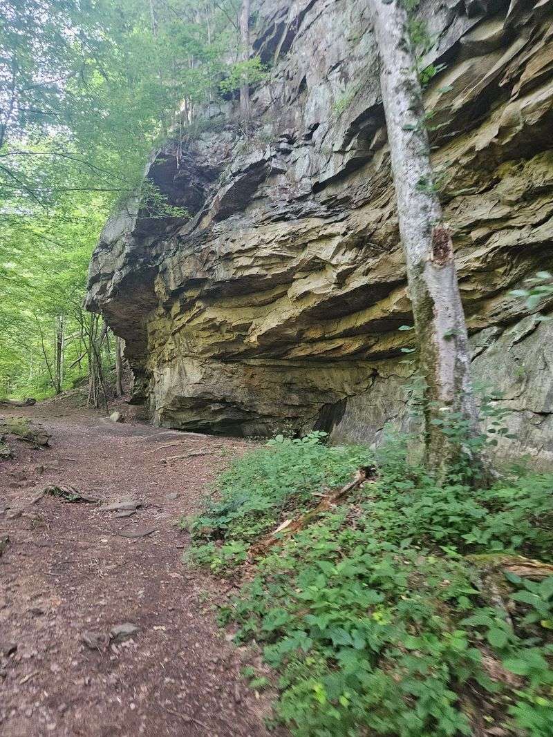
Footwear matters more than usual here. Much of the trail runs over larger rocks, loose stones, and roots, so ankle-supporting boots come highly recommended.
After the first mile, the path grows rockier and steeper, and leaf litter can hide loose rock in autumn. Sturdy shoes help you handle the flat rocks and uneven sections with confidence.
Packing water and bug spray rounds out a sensible kit, especially on hot, humid days. A few smart choices before you go make the whole experience far more enjoyable.
Parking, Hours, And Arriving Early
The single biggest planning tip for this place involves the parking lot. Spaces fill up quickly, especially on weekends, and some hopeful hikers have had to turn back after finding it full.
Arriving before 10 a.m. gives you the best shot at a spot, and you can occasionally luck into early birds heading out. Having a backup plan is genuinely worth considering on busy days.
The natural area is free to enter, which sweetens the deal considerably. Hours run from 8 a.m. to 5 p.m. across the week, with the gate closing around 8 p.m. for overnight campers.
The road leading in has been repaved with speed bumps added, though some stretches remain narrow with occasional rough patches. Driving slowly keeps the approach easy for most vehicles.
A little early planning turns a potential headache into a smooth start. Beat the crowd and the rest of the day falls into place.
Why This Trail Keeps Earning Return Trips
Some outings earn a spot on your personal favorites list, and this one has that effect on many. With a 4.8-star standing built on hundreds of glowing accounts, the enthusiasm is hard to miss.
The magic lies in flexibility. You can wander the easy first mile for creek views and rock formations, or push on to waterfalls, overlooks, and climbing challenges.
Crowds gather near the trailhead but thin out as you move deeper, so solitude is often just a mile away. That balance suits both social strollers and quiet seekers.
History, water, stone, and a dash of legend all share the same trail, which is a lot of variety for one free preserve near Dayton. Many walkers plan return trips before they even reach the car.
Big scenery without a punishing hike is a genuinely rare offer. This Tennessee trail delivers it, and then leaves you plenty of room to do more when you want to.
Enjoyed this story?
Add Fast Food Club as a preferred source to see more of our reporting on Google.