


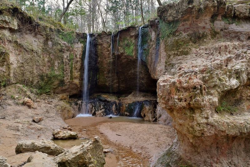
Tucked away in the often overlooked southwest corner of Mississippi sits a stretch of forest where more than 50 waterfalls tumble through steep ravines. Getting to them means following creek beds, climbing rugged hills, and wading through cool streams that carve their way across 700 acres.
Some cascades stand only ankle-high, while others plunge over 30 feet. It is the kind of place that rewards effort, where the trails climb and dip and keep you guessing about what waits around the next bend.
This is a hike that asks for sturdy shoes and a little grit, but it hands back scenery that keeps folks coming back season after season. Here is everything worth knowing before you lace up and head out to chase these hidden falls.
Where the Falls Are Hiding
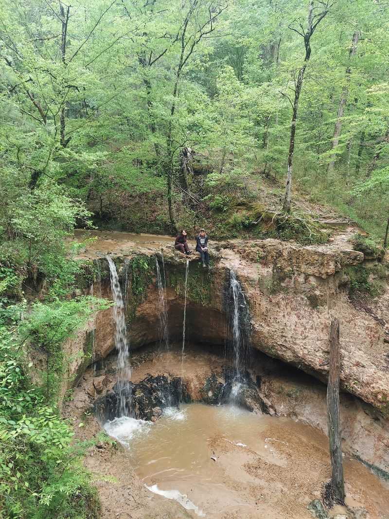
Nestled at 366 Ft Adams Pond Rd in Woodville, Mississippi, this 700-acre stretch of public forest holds one of the most surprising collections of waterfalls in the state. It sits in the far southwest corner, an area many travelers drive right past without knowing what lies just off the road.
The property is managed as a state natural area, and it protects a landscape of diverse trees, wildlife, and cascades scattered across its ravines. More than 50 waterfalls hide within its boundaries, ranging from tiny trickles to drops of over 30 feet.
Woodville itself is a small Mississippi town, and the natural area is an easy add-on for anyone exploring the region. The park earns a strong 4.7-star rating, and the crowds that find it tend to leave impressed.
What makes it stand out is how untamed it feels. The forest closes in around the trails, and the creeks do much of the navigating for you.
It is less a manicured park and more a slice of wild Mississippi that has stayed rugged on purpose.
A Corner of the State Few Talk About
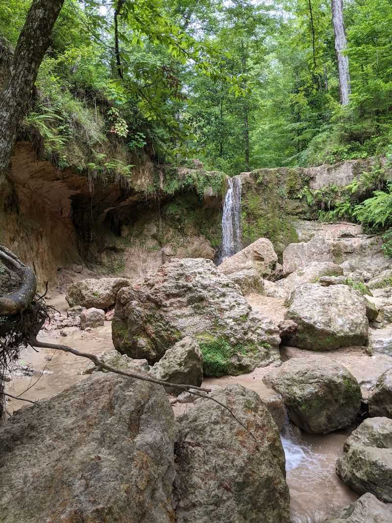
Mississippi rarely comes up in conversations about steep hills and rushing water, yet this pocket of the state flips that expectation on its head. Folks who make the trip often describe the beauty and diversity of the southwest corner as something that catches them off guard.
The land here rolls and folds in ways that feel unexpected for the Deep South. Loess soil, deep ravines, and thick forest combine to create a setting that stands apart from the flat farmland many picture when they think of the region.
Because it stays off the usual tourist radar, the natural area has held onto its quiet reputation. Regulars call it a hidden find, the kind of spot shared between friends rather than shouted from billboards.
Being roughly an hour from Baton Rouge and about 30 minutes from St. Francisville, it also draws day-trippers from across the Louisiana line. That mix of proximity and obscurity gives it a special charm, a place that feels remote without being unreachable.
Following the Creek Beds to the Water
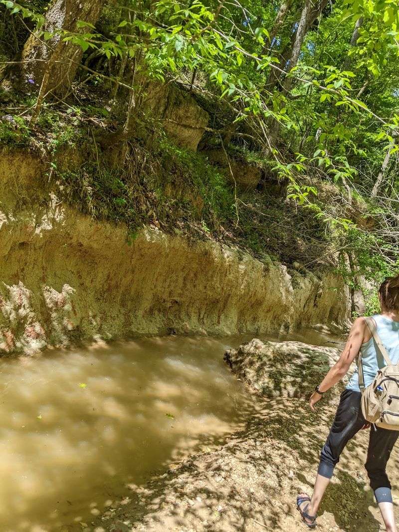
Reaching some of the best waterfalls means leaving the dry path behind and stepping right into the stream. Much of the adventure involves following creek beds, picking your way over rocks, and letting the water guide you toward the next cascade.
This is not a groomed nature stroll. The route can turn wet fast, and many people plan for it by wearing shoes they do not mind soaking.
Some even find that walking down the streams themselves is easier than fighting the steep trails alongside them.
The creeks change dramatically with the weather. After heavy rain, the water runs fast and the falls roar to life, turning a calm walk into a spirited challenge against the current.
On dry, sunny days, the same route becomes a gentle trickle that takes far less time to cross.
Experiencing the place in both moods is part of the appeal. The same stretch of creek can feel like rushing rapids one week and a peaceful ribbon of water the next, and both versions have their fans.
Two Trails, Two Very Different Days
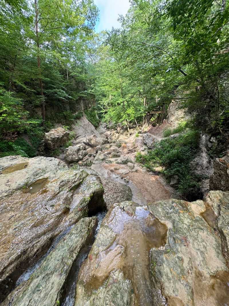
Not every route here demands the same level of grit, which is good news for hikers of all stripes. The area splits into two main options: an improved trail that runs shorter and easier, and a primitive trail that ratchets up the difficulty in exchange for the finest waterfall views.
The improved trail suits folks who want a solid outing without pushing to their limits. It offers a taste of the scenery and gets most people to the first several waterfalls with reasonable effort.
The primitive trail is another animal entirely. It is genuinely rugged, with steep hills, ambiguous stretches where game trails and shortcuts blur the path, and terrain that keeps you working.
One dedicated hiker spent around seven hours out on it and counted roughly 10 waterfalls along the way.
Maps, signs, and rest stops appear throughout the network, so getting completely lost is uncommon, though a few people mention wishing for more markers. Choosing between the two really comes down to how much of a workout you are chasing that day.
Cascades That Range From Ankle-High to Towering
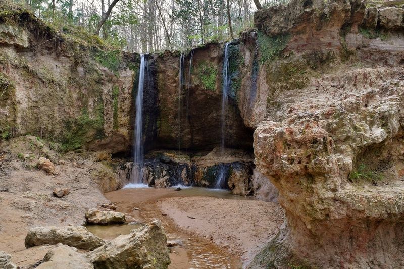
Counting the waterfalls here quickly becomes a friendly puzzle. The map highlights a handful of major falls, but the true total climbs well past 50 once you factor in the smaller drops tucked throughout the ravines.
The named cascades range from around 10 feet to more than 30 feet in height. Beyond those, dozens of miniature falls barely reach half a meter, scattered like little bonuses for anyone willing to wander deeper.
Most people focus on the first two or three waterfalls, and that alone is considered well worth the trip. Those early falls are the most accessible, and many hikers happily turn around after reaching them.
Adventurers who press on into the primitive stretches are rewarded with the quieter, harder-to-reach cascades. One long trek turned up 10 visible falls plus a couple more heard echoing through the trees.
However you tally them, the sheer number of drops packed into one forest is the headline attraction that keeps drawing people back.
Steep Climbs and Honest Terrain
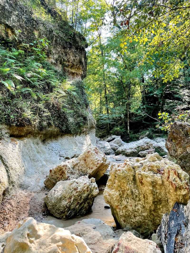
Anyone expecting a leisurely afternoon should reset those expectations. The trails climb and drop with real intensity, and the hardest part often comes on the way back to the car when the inclines stack up.
Loose gravel covers some of the steep sections, which can get slippery on the descents. Wet rocks, elevation changes, and obstacles to step over all factor into the challenge, so shoes with good grip make a genuine difference.
Nature adds its own hurdles too. Trees fall across the path from time to time, and heavy rain can trigger slides that reshape the route overnight.
On one outing, a large fallen tree near the first waterfall forced hikers to double all the way back.
Even with the effort involved, the payoff wins people over. A five-year-old has made it through the steep inclines, and plenty of hikers admit to sore legs the next day while still calling the trip completely worth it.
It is honest terrain that asks for preparation and returns the favor with scenery.
Forest Full of Life
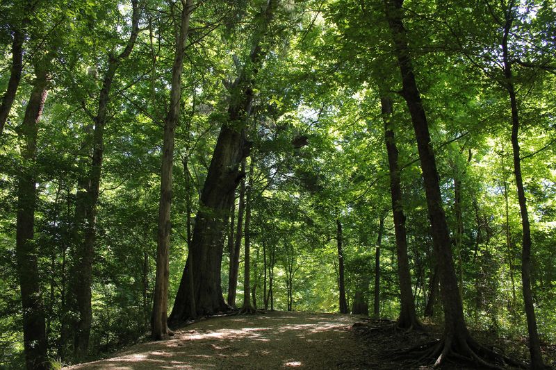
Beyond the water, the natural area functions as a living showcase of Mississippi wildlife. A mix of hardwood and pine forests spreads across the property, dotted with numerous wildflowers that brighten the trails.
Animal encounters are part of the charm. Deer and various birds are common sights, and one lucky group had a grey fox tag along during their hike, an experience that stuck with them long after they left.
The dense canopy keeps much of the trail shaded, which helps on warmer days. Even so, sunscreen still earns a spot in the pack because the light filters through in patches along the way.
The diversity of plant and animal life gives the place a richness that goes beyond the waterfalls alone. It rewards curious eyes, whether that means spotting a bird overhead, admiring a wildflower along the creek, or catching a glimpse of something four-legged slipping through the underbrush.
Who This Adventure Suits Best
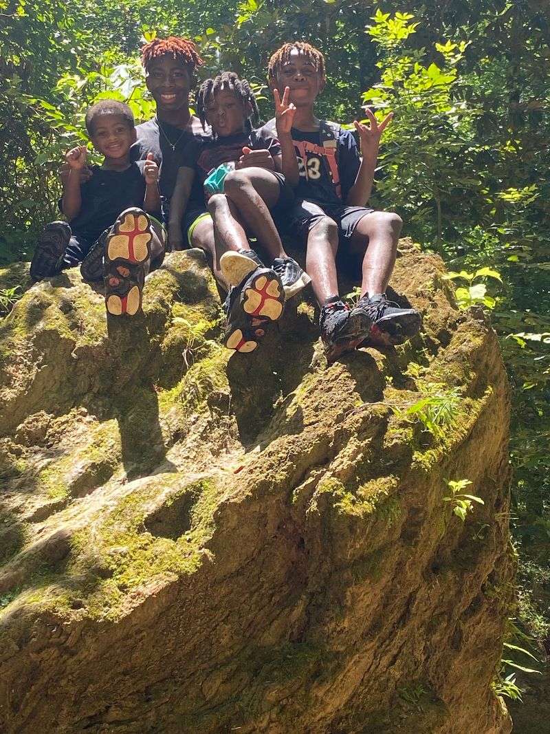
Honesty helps here: this is a hike best suited to able-bodied folks with lungs and legs in good shape. The terrain gets harder after the first waterfall and steeper with each one beyond it.
Newer hikers and anyone with certain mobility challenges may find the elevation, wet rocks, and obstacles uncomfortable to manage. The handicapped parking exists, but the trails themselves are not forgiving of limited mobility.
Families do make it work with the right planning. Little ones can handle it with extra help, and bringing along additional adults to lend a hand is a smart move when kids are in the group.
Dogs are welcome companions too, and plenty of four-legged hikers seem to love the creeks as much as their owners do. For the fit and prepared, especially those who enjoy a genuine challenge, this ranks among the top-rated hikes in the state.
It is an adventure that rewards readiness and a willingness to work for the view.
Packing Smart Before You Go
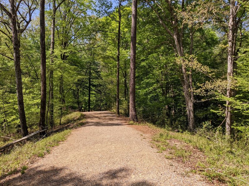
A little preparation goes a long way on these trails. Water tops the list, since the climbs work up a real thirst, and snacks help keep energy up during longer treks.
Footwear matters more than almost anything else. Sturdy shoes with good grip that you do not mind getting wet handle the creek crossings and slippery gravel far better than heavy boots.
A change of clothes helps if you plan to take a dip in the cool natural waters.
Bug repellent is close to essential, especially in warmer months when mosquitoes swarm and springtime brings out aggressive bees. Some regulars suggest late winter as a way to dodge the worst of the insects.
Sunscreen, a small first aid kit, and a way to keep electronics dry round out the smart packing list. A hiking stick earns praise too, and carrying tissues is wise since restrooms sit only at the entrance.
Toss it all in a backpack, and you are set for a full day of creek-hopping.
Hours, Fees, and Getting There
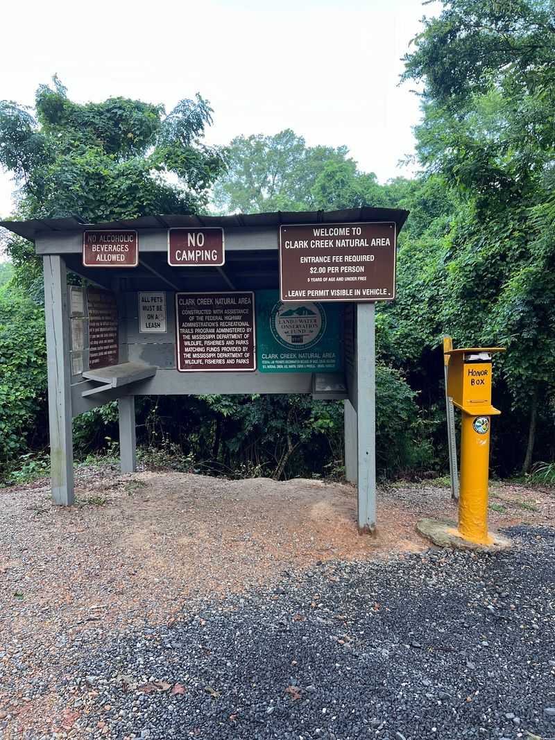
Planning the logistics keeps the day running smoothly. The natural area opens daily from 8 AM and closes at 5 PM, giving a solid window for even the longer primitive routes, though early starts are wise on ambitious hikes.
The entrance fee runs $4 and is paid on the honor system at the trailhead information and pay station. Bringing exact change is important, and after paying, you receive a car tag to display.
A patrol tickets vehicles without one, so do not skip that step.
Restrooms with indoor plumbing sit by the parking area at the start of the trail, and there is space to park, though weekends tend to pack the lot. Weekday visits often mean far fewer people and a more peaceful outing.
Getting there is easy for regional travelers, sitting about an hour from Baton Rouge and roughly 30 minutes from St. Francisville. The address, 366 Ft Adams Pond Rd in Woodville, Mississippi, plugs right into a map.
More details are available through the state wildlife department website.
Enjoyed this story?
Add Fast Food Club as a preferred source to see more of our reporting on Google.