


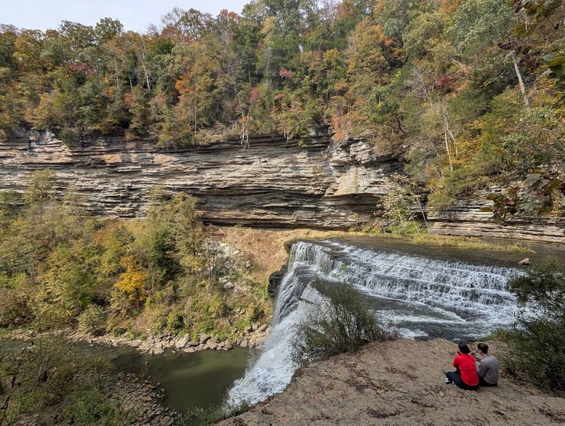
Some waterfalls make you earn every step, but this one near Sparta asks for very little. A short trail through the woods leads to an overlook where a river drops 136 feet into a wide pool below.
Along the way, smaller falls show up like opening acts before the main show. Keep reading to learn which route is easiest, when the water runs strongest, and how to plan a visit that costs nothing at the gate.
A Free Park on the Falling Water River
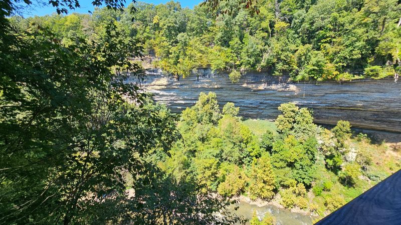
Four waterfalls tucked into one small state park is a pretty good ratio. Burgess Falls State Park sits at 4000 Burgess Falls Dr, Sparta, TN 38583, in Middle Tennessee, United States.
The park follows the Falling Water River about 15 miles south of Cookeville. It covers roughly 350 acres spread across Putnam and White counties.
The river does the heavy lifting here. It drops through a deep limestone gorge in a chain of four falls that together fall more than 250 feet.
Getting there is simple for travelers on the interstate. The usual route is I-40 to exit 286, then TN-135 south for about 8 miles.
Some road trippers treat the park as a quick detour and arrive within about 15 minutes of leaving I-40. That makes it a handy leg stretch between longer drives across the state.
The park is a day-use spot, so plan on a daytime outing rather than an overnight stay. Hiking, picnicking, fishing and waterfall watching fill most visits.
Best of all, admission is free. A big waterfall with no ticket line is the kind of deal that rarely needs a coupon.
Four Falls in a Limestone Gorge
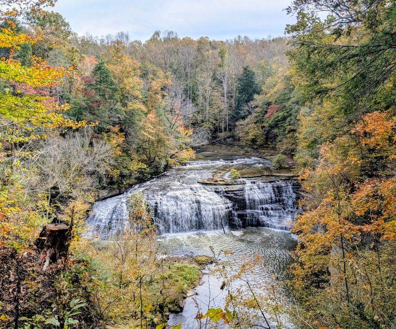
Think of the river as a staircase built by time. Each step down the gorge creates a waterfall with its own size and shape.
Heading downstream, the first is Little Falls at about 20 feet. Middle Falls comes next at roughly 30 feet.
Upper Falls raises the stakes with a drop of about 80 feet. Then the river saves its biggest move for last.
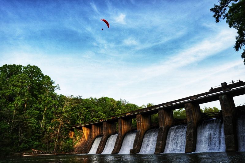
That final plunge is Burgess Falls itself, a 136-foot block waterfall that pours into a large pool. It is the reason most people make the trip.
Many people count three major waterfalls on a typical walk, since Little Falls is more modest. Either way, the cascades between the big drops add plenty to look at along the river.
The gorge setting helps the falls stand out. Steep rock walls and thick woods frame each drop, which explains why the park ranks among the most photographed natural spots in Tennessee.
Each waterfall builds on the last, so the walk has a natural sense of rising action. By the time the main falls appear, the buildup has done its job.
The 136-Foot Main Event
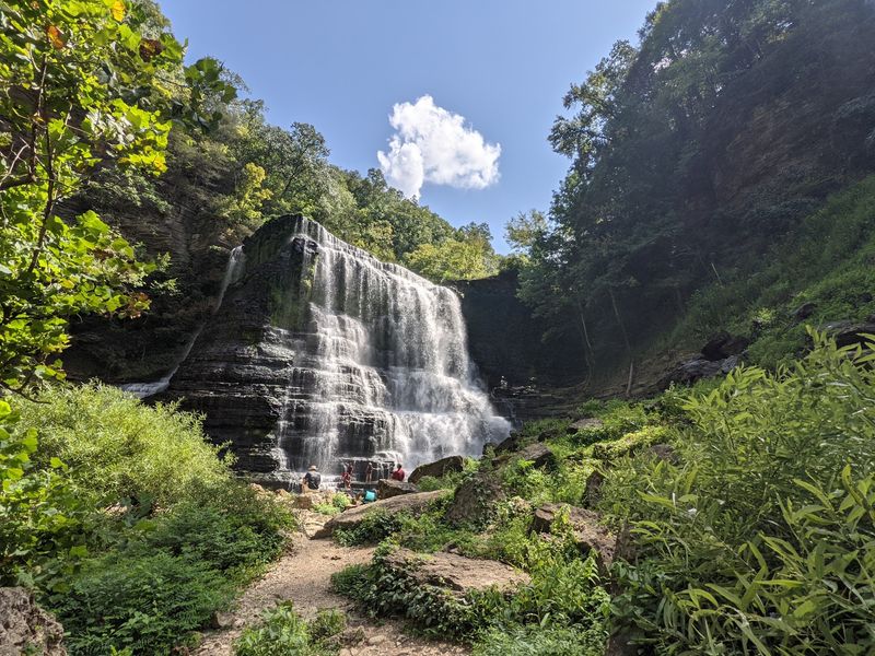
Here is the headliner. Burgess Falls drops 136 feet in one wide curtain of water into a broad plunge pool.
An overlook platform sits right above the main falls at the end of the trail. On windy days, mist can drift up close to the railing.
Sunny afternoons can bring a bonus. When the light hits the water at the right angle, a rainbow often forms over the big falls.
Some hikers continue down from the final overlook to the top of the largest falls. There they sit by the water and soak up the view for a while before heading back.
One limitation surprises a few people. There is no trail access to the bottom of the falls, so the view from below takes some extra planning on the water.
Even repeat guests say the scene never gets old. Many call it the best waterfall they have seen in the region, and the overlook rarely sits empty for long.
Bring a camera with a full battery. This drop tends to use up storage fast.
Two Paths, One Smart Loop
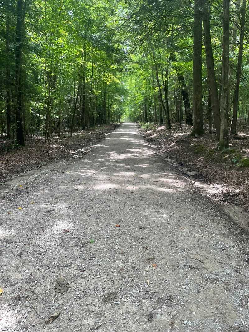
Choosing a route is the only real decision of the day. The park offers a scenic river trail and a smoother gravel road, and both reach the overlook.
The gravel road is the flat, easy option. It leads about three quarters of a mile to the Burgess Falls overlook and works well for anyone who prefers steady footing.
An ADA accessible route is available along the road. It is not fully wheelchair accessible all the way to the lookout, so plan with that in mind.
The River Trail is the scenic choice. It hugs the water and passes the smaller falls and cascades on the way.
Here is the popular trick. Many hikers walk the River Trail toward the falls, then return to the parking lot on the service road.
Others flip it, taking the road out and the trail back to skip the climb on the way in. Either way, a marked exit trail from the overlook helps keep foot traffic moving in one direction.
A full loop takes roughly 30 to 45 minutes for many families. About an hour covers the whole area at a relaxed pace.
Roots, Stairs and Honest Footing
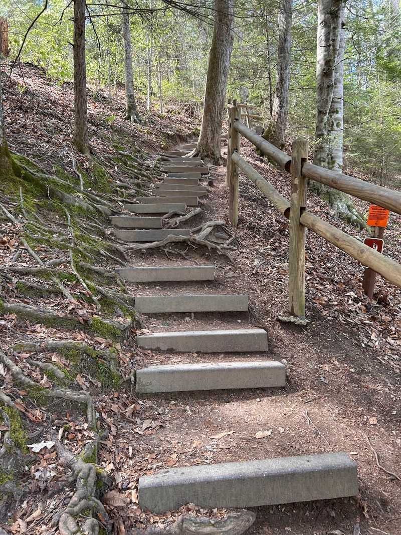
Easy is a relative word on the River Trail. The distance is short, about half a mile in and half a mile out, but the ground has some personality.
Exposed tree roots cross the path in many spots. Two sets of steps climb with wooden rails, and some natural steps are deep and uneven.
Most average hikers handle it without much trouble. Families with kids around 11 to 14 often find it a fair challenge rather than a hard slog.
Still, it may feel tougher for small children, older pets, and people with knee or back trouble. Washouts and steep stairs call for slower steps.
Good hiking shoes help a lot. Wooden railings line much of the trail, and there are spots to pause and rest along the way.
Plenty of shade covers the route, which helps on hot summer days. The woods keep the walk comfortable even in August.
Treat the roots with respect and the trail returns the favor. A steady pace is all most people need.
Kayak Routes to the Falls
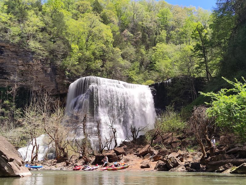
Some people skip the trail entirely and arrive by water. Kayaking ranks among the most talked about ways to see the falls from a different angle.
Outfitters such as Cumberland Kayak Services shuttle paddlers to the falls and back. Going out with the first group of the day can mean having the swimming areas nearly to yourself.
Others ride jet skis toward the waterfall and finish on foot. The staff at the Cookeville boat ramp earns kind words for being helpful.
The final approach is rocky and slippery. Sturdy water shoes with a good sole make a big difference.
Bug spray belongs in the bag too. Snakes can be present in the water, so watching each step is wise.
The paddling route is the answer for anyone who wants that view from below. Since the trail stops above the falls, a boat is the way to reach the lower angle.
Plan early, pack carefully, and let the river set the pace.
Playgrounds, Picnics and Paws
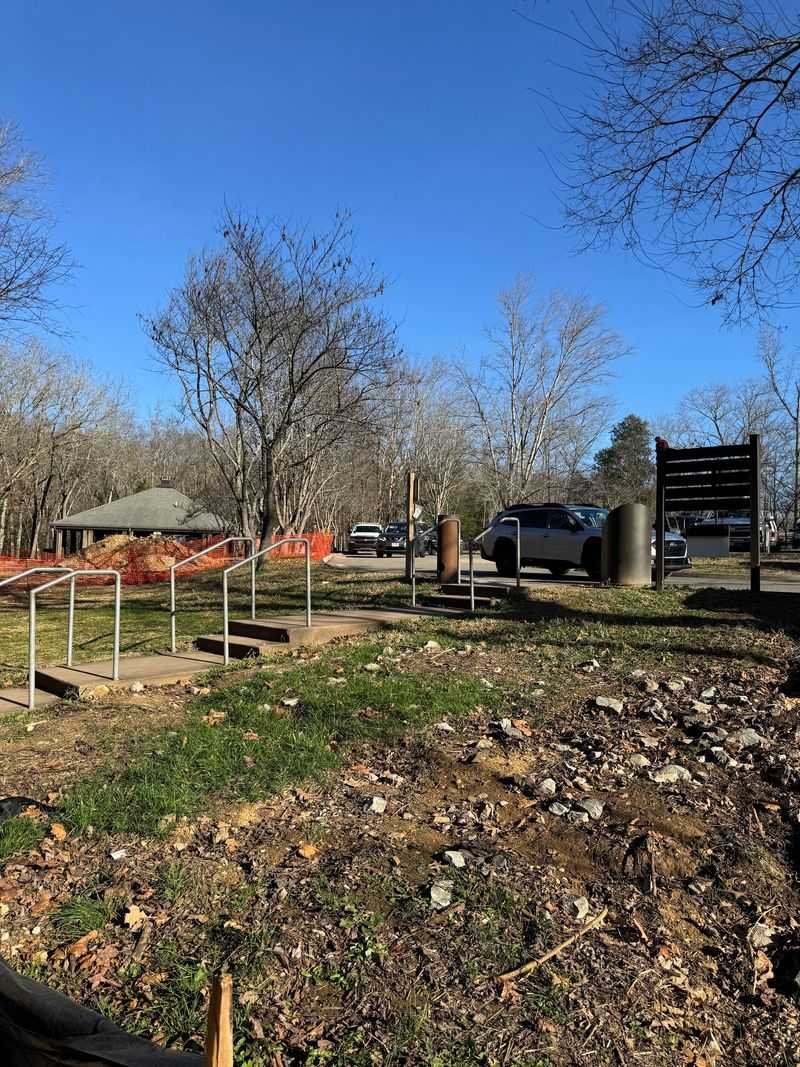
Not every highlight involves falling water. The area near the parking lot has its own list of perks.
New playground equipment gives kids somewhere to burn energy before or after the hike. Picnic areas and a shelter house add room for a relaxed lunch break.
Clean restrooms sit near the trailhead, which parents tend to appreciate. A butterfly garden and native plant area also sit close to the lot.
Dogs are welcome on leash, and plenty of them show up. Litter bags are available at the trailhead for easy cleanup.
Fishing is another quiet pastime. Anglers try for smallmouth bass and rock bass below the falls.
Bird watchers keep an eye out for great blue herons. Peregrine falcons sometimes appear too.
A large shallow area invites wading and exploring for kids. Mossy rocks are slick, though, so water shoes are smart.
Swimming is prohibited in the gorge because of strong currents and undercut rocks. Staying in permitted shallow areas keeps the fun safe.
Timing, Parking and Hours
Timing can change the whole show. The Falling Water River depends on rain, so the falls look strongest after spring rains or winter thaws.
Summer often brings lower flow. Even so, the falls here can keep running when many other parks slow to a trickle.
Current listed hours run from 8 am to 4 pm every day of the week. Checking the Tennessee State Parks website before a trip is a good habit, since updates post there.
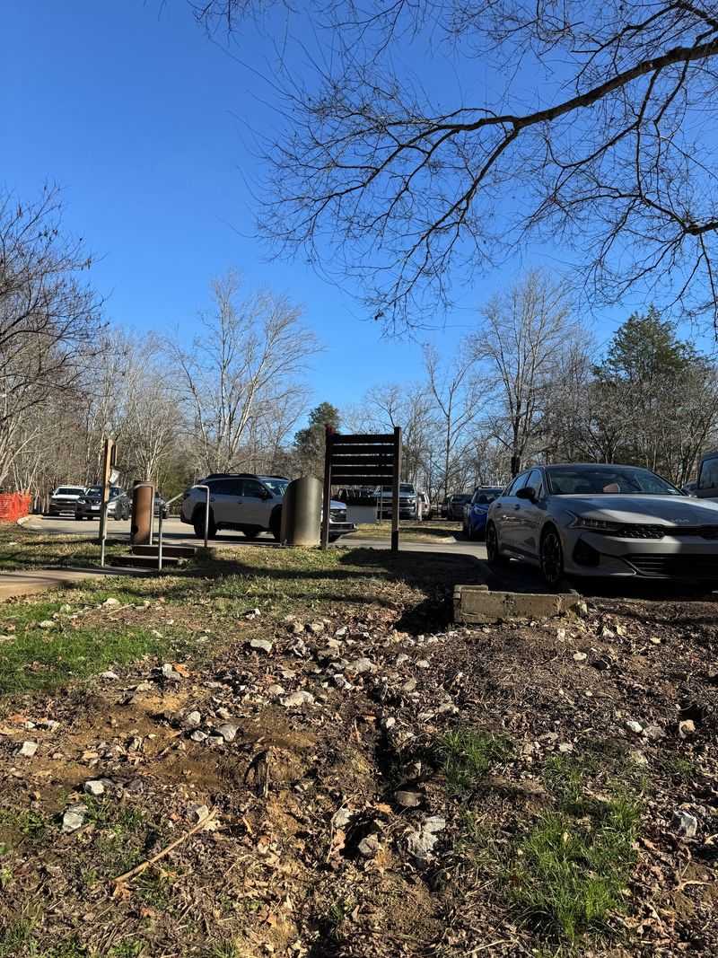
Parking has been the main headache lately. Construction on a new visitor center and expanded parking has limited spaces, even on weekday mornings.
Arriving early improves the odds of finding a spot. The park says the new visitor center and added parking will open soon.
Trucks pulling trailers currently have no designated parking. Some travelers leave rigs at the RV park next door.
Admission remains free, which keeps this outing friendly for budgets. Spend the savings on good shoes.
Worth the Detour Off I-40
Short trips can leave long impressions. That sums up a stop at this park pretty well.
In about an hour, a visitor can walk the woods, pass several waterfalls, and stand above a 136-foot drop. The cost at the gate is zero.
The flat gravel road suits people who want an easier stroll. The River Trail rewards those who enjoy roots, stairs and more scenery.
Families, dog owners, paddlers and road trippers all find something to like. With a 4.8 star average from thousands of people, the praise is hard to ignore.
A few tips sum it up. Arrive early, wear sturdy shoes, and consider the loop that returns by the service road.
Come after a good rain for the strongest flow. Pack patience for parking while construction wraps up.
The falls will be waiting, doing what they have done for ages, one drop at a time.
Enjoyed this story?
Add Fast Food Club as a preferred source to see more of our reporting on Google.