


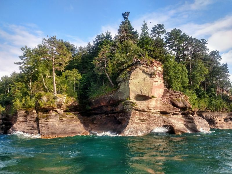
Off the coast of Michigan’s Upper Peninsula sits a wild stretch of land where cars stay behind, gravel roads wind through thick forest, and sandstone cliffs drop straight into cold blue water. A short boat crossing from the mainland is all it takes to reach it, yet plenty of travelers pass right by without knowing it exists.
Around 22 miles of shoreline wait here, along with beaches scattered with smooth pebbles, quiet coves, and trails that test even seasoned cyclists. Hikers, campers, and paddlers all find room to roam without crowds pressing in.
What follows is a full look at this island escape, including how to get there, what to pack, and the honest realities of a rustic trip. Keep reading before you plan your Upper Peninsula adventure.
Where This Island Escape Sits
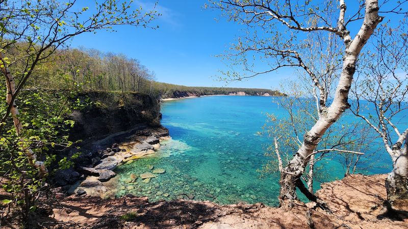
Just north of the small town of Munising, MI 49862, a forested landmass rises out of Lake Superior and goes by the name Grand Island National Recreation Area. It belongs to the Hiawatha National Forest, and the crossing from the mainland takes only a few minutes by boat.
The whole place is managed by the U.S. Forest Service rather than the state park system, which shapes how rustic and undeveloped it feels.
Cars are not permitted, and there are no paved roads anywhere on the island.
Visitors travel by foot, by bike, or by watercraft once they arrive. Gravel roads, two-track paths, and narrow dirt trails make up the entire network across the land.
Roughly 22 miles of Great Lakes shoreline wrap the island, giving it far more coast than most travelers expect from a spot this quiet. The setting earns a 4.6-star rating, and people consistently mention the scenery and the views as the reasons it sticks in their memory.
A trip here works best as an add-on to a Pictured Rocks vacation, since Munising sits right in the heart of that region. Anyone with an extra day in the area tends to walk away glad they made the crossing.
A Rustic Corner Of The Hiawatha National Forest
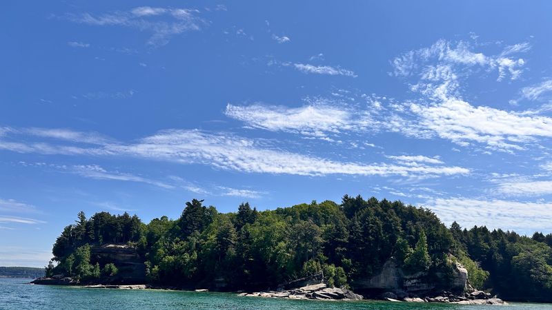
Set aside as a National Recreation Area, this island carries a designation different from a full National Park, and that distinction matters more than it might seem. Instead of visitor centers and heavy infrastructure, the land stays deliberately primitive and undeveloped.
Amenities remain few and far between. Drinking water and vault toilets are available, but there are no stores or shops anywhere on the island itself.
The only gift shop connected to the operation sits back on the mainland near the departure point. Travelers who arrive expecting a polished tourist attraction sometimes feel caught off guard.
Part of the island is privately owned, with several homes, private beaches, and posted signs asking people to stay off certain stretches. Knowing this ahead of time helps set the right expectations before the boat even leaves the dock.
What the land lacks in convenience it makes up for in raw, undisturbed terrain. People who come prepared for a rugged outing describe the beauty as more than worth the effort, even calling it an absolute standout of the region.
Coming here means trading comfort for solitude and open space, and that trade defines the entire experience.
Cliffs, Coves, And Sea Caves Along The Water
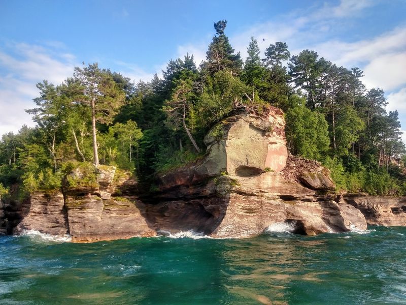
Towering sandstone cliffs form some of the most striking scenery along the island’s edge, rising sharply where the forest meets Lake Superior. Between them sit quiet coves and hidden sea caves carved into the rock over long stretches of time.
The shoreline shifts constantly as you move around the perimeter. White sand beaches appear in some spots, while smooth pebbles and pieces of sea glass wash up in others.
Trout Bay, on the southeast side, holds one of the longest and most popular beaches on the whole island. People who circle the coast tend to linger there longer than anywhere else.
Water conditions vary depending on which side you find yourself on. Calm, smooth waves often greet paddlers near the sheltered south, while the north side can build to two and three foot swells when the wind picks up.
Serene inlets tucked between the cliffs give the coast its varied character, and the mix keeps the scenery from ever feeling repetitive. Every beach stop reveals something a little different from the last.
Anyone drawn to dramatic Great Lakes shoreline finds plenty to explore along these 22 miles.
Mountain Biking That Earns Its Views
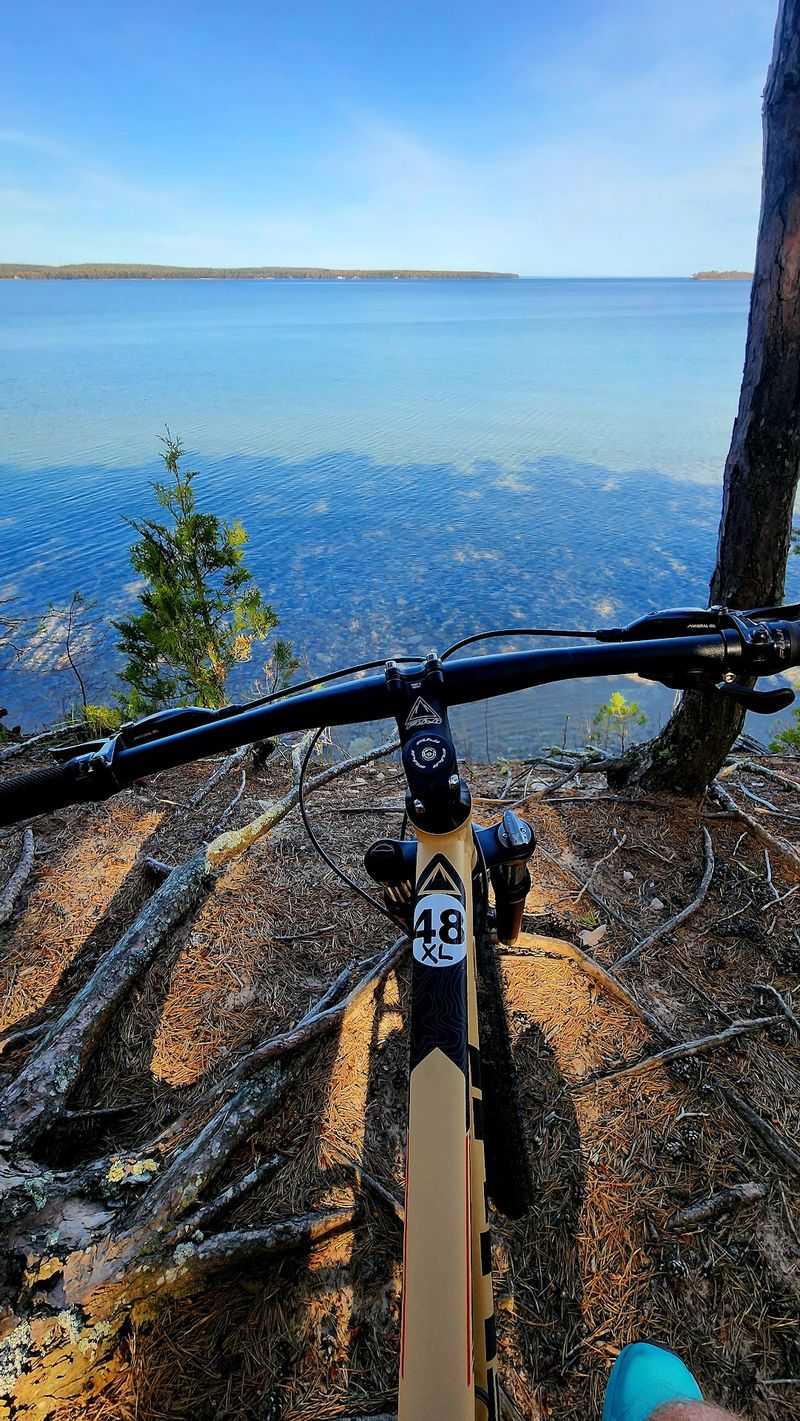
Cyclists treat this island as a serious challenge rather than a casual spin, and the terrain backs that up. Riding the full loop around the perimeter covers roughly 20 miles, with plenty of climbing built in along the way.
Diverse trail conditions keep things interesting from start to finish. Muddy patches, rocky sections, scattered branches, and long uphill stretches all show up, especially after a good rain.
A ride around the entire island can stretch past five hours once you factor in photo stops and breaks. One ambitious camper logged 51 total miles by combining the loop with extra exploring.
The payoff comes in the form of spectacular views that appear as the trail winds near the water. People who love mountain biking describe the route as delivering nearly everything the sport promises.
Preparation makes a real difference out here. Packing a tire repair kit is smart, since rocks and debris can catch riders off guard on the rougher stretches.
This is not a flat, leisurely beach-town ride, and knowing that upfront prevents disappointment. Avid riders tend to find the difficulty part of the fun.
Renting A Bike For The Day
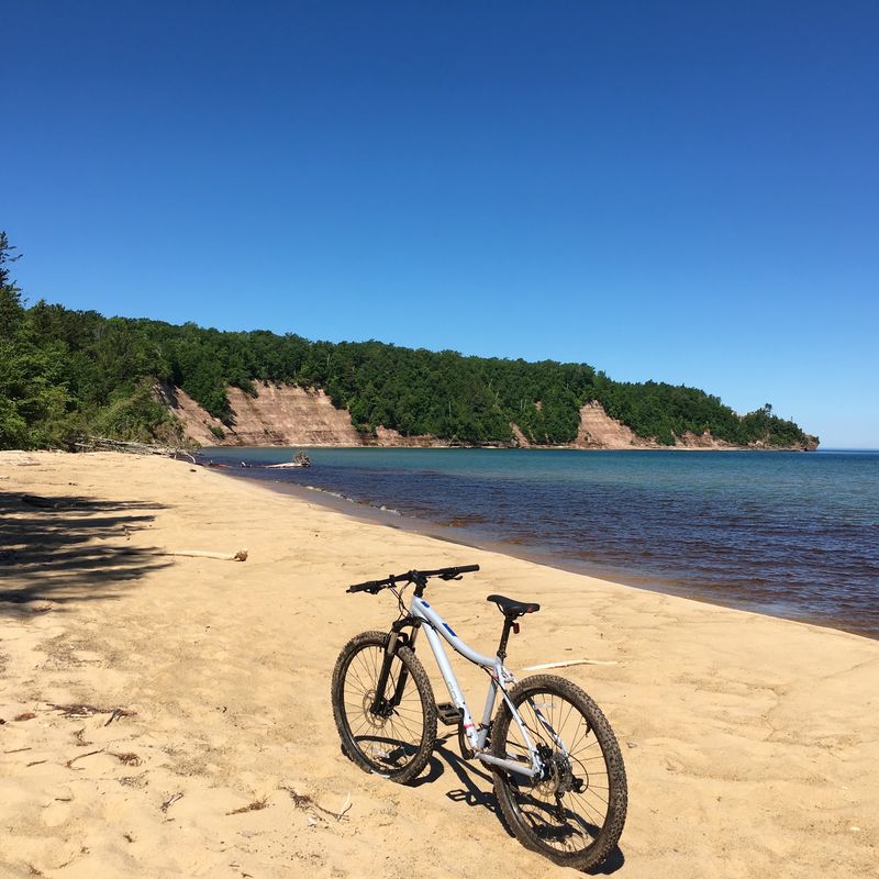
Not everyone hauls their own gear across the water, and that is where the rental operation on the mainland comes in. Bikes are available through the Grand Island Service outfit, and picking one up is a common way to cover the whole island in a single day.
The rental cost runs a bit on the higher side, according to people who have paid it. Still, having wheels lets travelers explore at their own pace instead of being tied to a schedule.
The staff handling the rentals get consistent praise for being friendly and making the pickup process smooth. That part of the experience tends to go without a hitch.
One honest heads-up worth knowing involves the seats. The rental bike seats carry very little padding, which can make the long, bumpy loop uncomfortable for anyone not used to it.
During certain events the direction of travel gets set, so groups may be routed clockwise or counterclockwise depending on the day. Checking ahead avoids surprises.
Renting works best for people set on seeing the entire island rather than one small stretch near the boat landing.
The Ferry Ride Across The Channel
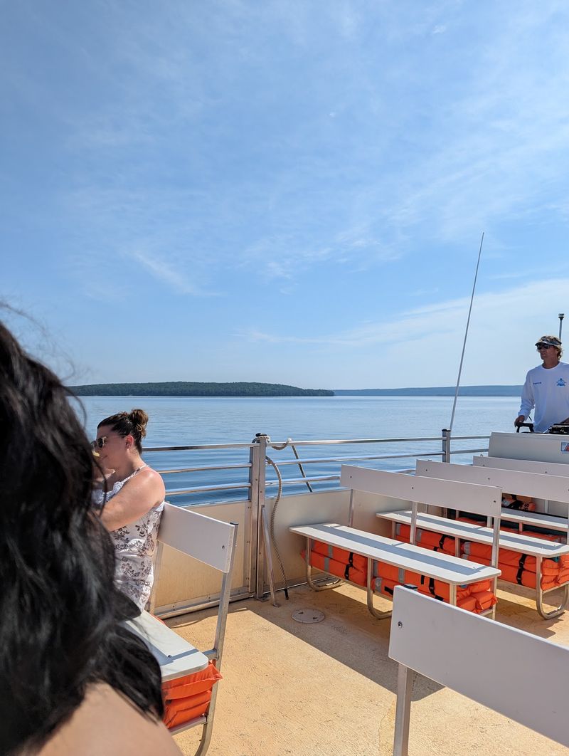
Getting to the island depends on a seasonal boat that runs several times a day from Munising. The crossing itself is remarkably short, taking only about two to three minutes to reach the far shore.
The service typically operates from Memorial Day weekend through early October. Outside that window, reaching the island becomes far more complicated.
People genuinely enjoy the ride in both directions, and the crossing often ranks among the highlights of the whole trip. Even those who felt lukewarm about the island itself tend to speak fondly of the boat.
Timing matters more than first-time visitors expect. The last boat back leaves at 6 p.m., and getting stranded after the final departure is a real risk for anyone who loses track of the hour.
Planning your loop or hike around that return time keeps the day from going sideways. Building in a comfortable buffer is the safer move.
The channel between the mainland and the island is narrow, which is why the trip feels so quick. That brief ride is the gateway to everything the island offers.
Paddling And Watercraft Around The Perimeter
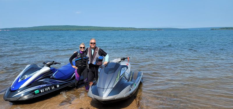
Adventurers who bring their own boats find a whole different way to experience the island. Kayaks can launch right from the boat landing, with the put-in located on the backside of the building.
Circling the entire island by water is possible for experienced paddlers and personal watercraft operators. A full loop makes for a memorable day out on Lake Superior when conditions cooperate.
Conditions are the key word, since the lake demands respect. Several stretches of two to four miles along the coast offer no place to beach a boat, so getting caught in rough water there is a genuine hazard.
Waves that start calm on the south side can build to two and three footers by the time you round the north end. Solo trips on a single watercraft are discouraged for exactly this reason.
Smart water travelers file a float plan with family, pack safety gear like a handheld radio, and check the weather closely before setting out. Those precautions turn a risky idea into a rewarding one.
Handled carefully, a paddle or ride around the perimeter ranks among the finest trips on all of Lake Superior.
Camping Under The Stars
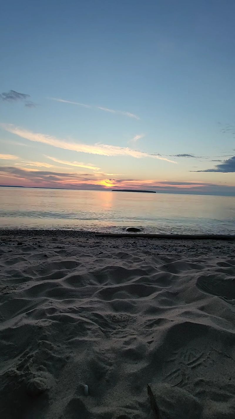
Spending a night or two turns a day trip into a proper wilderness getaway. Campers have stretched their stays to three nights and four days, setting up at spots like the very north end of the island.
The rustic setup means backcountry-style camping rather than developed campgrounds with hookups. Some travelers even rely on hammocks, pitching camp at the highest point without needing a formal site.
Overnight options also include cabins for those who want a roof over their heads. Either way, the lack of stores means everything you need has to come across on the boat with you.
Staying the night gives access to far more of the island than a rushed day allows. The whole perimeter opens up when there is no last boat to catch.
Solitude comes easier after the day crowds head back to the mainland. The quiet at dusk is a large part of the appeal for people who choose to stay.
Multi-day campers consistently describe having a blast, even when the climbs and terrain test their legs. Packing well is the difference between a great trip and a rough one.
Trails For Hikers And Explorers
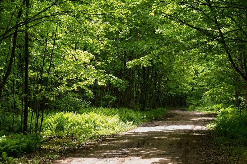
Foot travel opens up parts of the island that wheels and boats miss entirely. The network of gravel roads, two-track, and single-track dirt trails gives hikers plenty of ground to cover at a slower pace.
People come here specifically to hike and explore, treating the whole island as one big outdoor playground. Birding also draws its share of enthusiasts alongside hiking and biking.
Sturdy shoes rank near the top of the packing list, since trails can turn very muddy after rain. The same terrain that challenges cyclists gives walkers plenty to navigate too.
Slower travel rewards those willing to put in the miles on foot. Reaching a distant beach or an overlook feels earned when you have walked every step to get there.
A word of caution runs through many accounts of the place. The island is large, and losing track of time or direction can leave you far from the boat landing when the last crossing departs.
For patient explorers who plan their route and mind the clock, the trails deliver quiet beauty at every turn. Steady legs and good boots go a long way.
What To Pack Before You Go
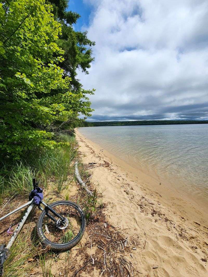
Bug spray tops nearly every list of what to bring, and for good reason. Mosquitoes swarm heavily, especially in early June, and some travelers even recommend a mesh head net for extra protection.
Water and snacks matter just as much. With no stores on the island, everything you eat or drink has to come along with you across the boat.
A few practical extras save the day when trouble strikes. A tire repair kit helps on the bike loop, since sharp rocks and branches litter the rougher trails.
Footwear deserves real thought before you leave home. Sturdy shoes handle the mud and uneven ground far better than anything flimsy.
Dressing for the terrain and the bugs beats fighting them once you arrive. Long layers help on buggy days, and packing a little heavier is usually the safer call out here.
Sun protection, plenty of hydration, and a plan for the weather round out a smart kit. People who come prepared consistently enjoy the trip far more than those who wing it.
A rustic island rewards planners, and a well-packed bag sets the tone for the whole outing.
Is The Crossing Worth Your Time
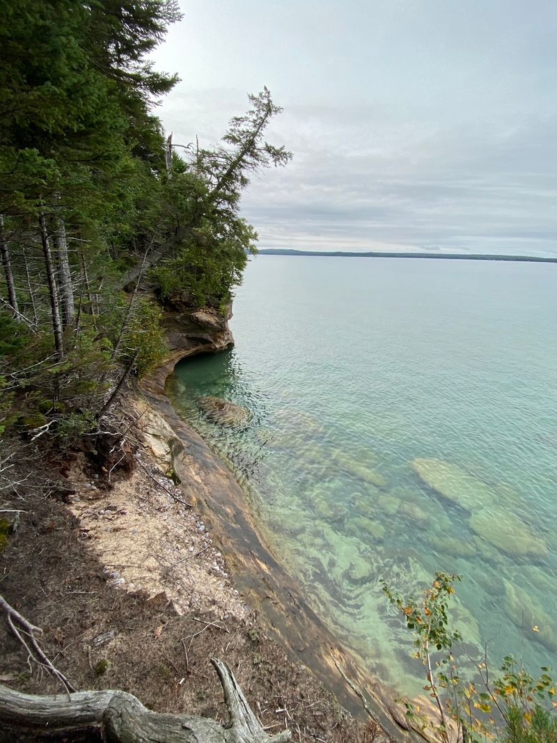
Weighing whether to make the trip comes down to what kind of outing you want. People chasing a polished, easygoing beach day sometimes leave underwhelmed, since the island stays primitive and the loop demands real effort.
The higher rental cost and the presence of private property can catch newcomers by surprise. Setting expectations correctly makes all the difference in how the day lands.
For the outdoorsy crowd, though, the verdict runs overwhelmingly positive. A 4.6-star standing reflects how many travelers walk away calling the scenery spectacular and the beauty hard to put into words.
Cyclists, campers, paddlers, and hikers who show up prepared tend to rate the island among their favorite Upper Peninsula outings. The reward scales with the effort you put in.
Anyone spending time around Munising and Pictured Rocks has an easy add-on right offshore. A short boat ride and a full day are all it takes to see why the place stays quietly beloved.
Pack smart, mind the 6 p.m. return boat, respect the lake, and this rugged island rewards you with miles of Great Lakes shoreline most travelers never find.
Enjoyed this story?
Add Fast Food Club as a preferred source to see more of our reporting on Google.